
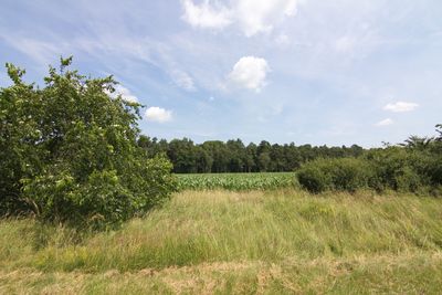
Untere Allerniederung, special protection areas in Niedersachsen, Germany
Location: Heidekreis
Inception: 1992
GPS coordinates: 52.81397,9.56545
Latest update: March 9, 2025 22:26
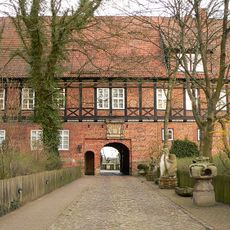
Ahlden House
6.1 km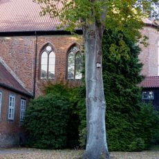
Walsrode Abbey
5.6 km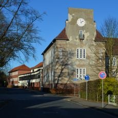
Gymnasium Walsrode
6.1 km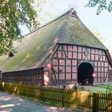
Rischmannshof Heath Museum
5.6 km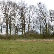
Bunkenburg
5.9 km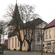
St. Johannis der Täufer
6.1 km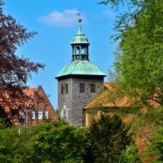
Stadtkirche Walsrode
5.6 km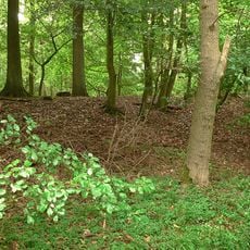
Burg Bierde
5.7 km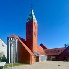
St. Maria vom heiligen Rosenkranz
6.2 km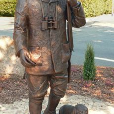
Hermann-Löns-Standbild
5.5 km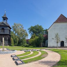
St. Johannes der Täufer-Kirche
4.7 km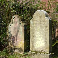
Jewish Cemetery at Ahlden
6.1 km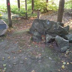
Ruensteen Walsrode
3.3 km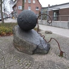
Sisyphus
5.7 km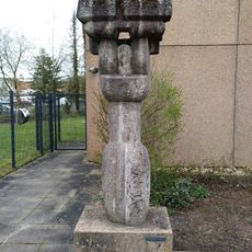
Karyatide
5.8 km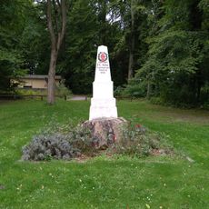
Jahn-Denkmal
5.6 km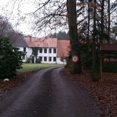
Gut Wiedenhausen
4.8 km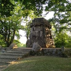
Bismarck memorial
4.7 km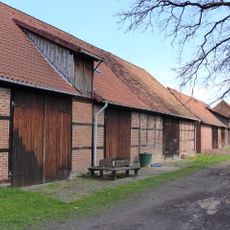
Scheunenviertel Ahlden
6.1 km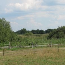
Aller-Leinetal
5.6 km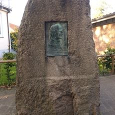
Ludwig Harms memorial stone
5.6 km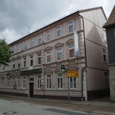
Lange Straße 5
5.5 km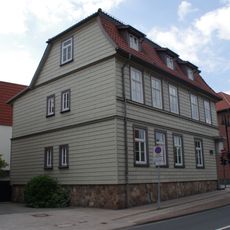
Lange Straße 1
5.5 km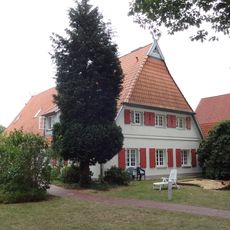
Wiesenstraße 14
5.8 km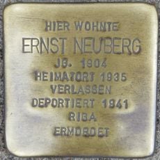
Stolperstein dedicated to Ernst Neuberg
5.7 km
Moorstraße 42
5.6 km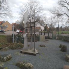
Begegnung
5.4 km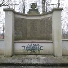
World War I memorial Walsrode
5.5 kmReviews
Visited this place? Tap the stars to rate it and share your experience / photos with the community! Try now! You can cancel it anytime.
Discover hidden gems everywhere you go!
From secret cafés to breathtaking viewpoints, skip the crowded tourist spots and find places that match your style. Our app makes it easy with voice search, smart filtering, route optimization, and insider tips from travelers worldwide. Download now for the complete mobile experience.

A unique approach to discovering new places❞
— Le Figaro
All the places worth exploring❞
— France Info
A tailor-made excursion in just a few clicks❞
— 20 Minutes