
Moore und Wälder der Endmoräne bei Starnberg, protected area in the European Union defined by the habitats directive in Bayern, Germany
Location: Starnberg
Inception: 2004
GPS coordinates: 48.02557,11.37376
Latest update: March 3, 2025 11:03

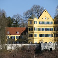
Schloss Leutstetten
498 m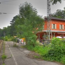
Mühlthal (Oberbay) station
1.6 km
Villa rustica of Leutstetten
815 m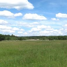
Leutstettener Moos
1.3 km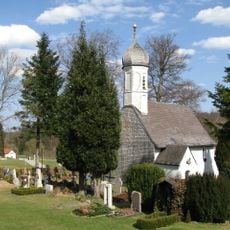
St. Peter und Paul
1.9 km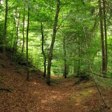
Burgstall Schlossberg
2 km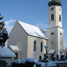
Kirche St. Ulrich
2.7 km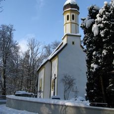
St. Alto
642 m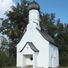
St. Ulrich
2.2 km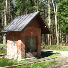
Herrgottsruhkapelle
2.6 km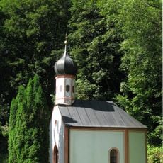
Kapelle Petersbrunn
1 km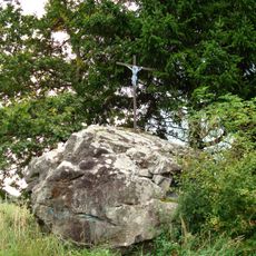
Erratischer Block Hoher Stein E von Percha
2.8 km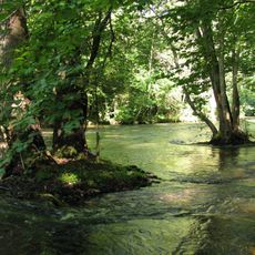
Würmtal
1.4 km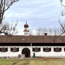
Gestüt Isarland
2.2 km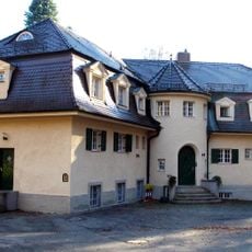
Wernbergschlösschen (Starnberg)
2.7 km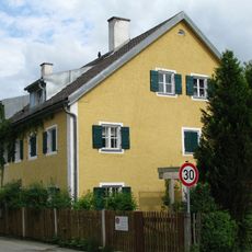
Leutstetten Altostraße 18
500 m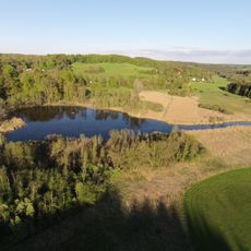
Endmoränen des Würmsee-Zungenbeckens SW von Leutstetten
800 m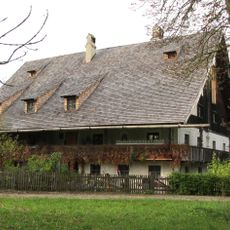
Hammertshauserhof
2.3 km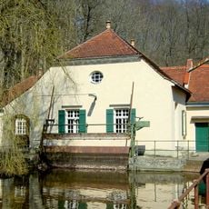
Pumpwerk In Mühlthal in Starnberg
1.5 km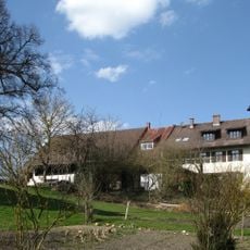
Gutshaus
1.8 km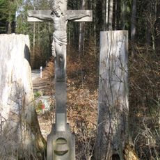
Gedenkkreuz
1.5 km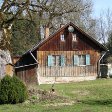
Mooshäusl
1.5 km
Schloss Nähe Wangener Straße in Starnberg
458 m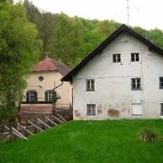
Mühle
1.5 km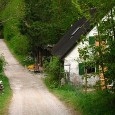
Ehemaliges Schusterhäusl
1.3 km
Streckenwärterhaus
1.7 km
Samerhof
407 m
Kleinbauernhaus
602 mReviews
Visited this place? Tap the stars to rate it and share your experience / photos with the community! Try now! You can cancel it anytime.
Discover hidden gems everywhere you go!
From secret cafés to breathtaking viewpoints, skip the crowded tourist spots and find places that match your style. Our app makes it easy with voice search, smart filtering, route optimization, and insider tips from travelers worldwide. Download now for the complete mobile experience.

A unique approach to discovering new places❞
— Le Figaro
All the places worth exploring❞
— France Info
A tailor-made excursion in just a few clicks❞
— 20 Minutes