
Teilfläche des Nordhangs im Restfeld Vereinigte Ville, nature reserve in Germany
Location: Hürth
Inception: 2007
GPS coordinates: 50.85456,6.85438
Latest update: March 3, 2025 12:54
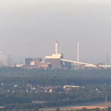
Goldenberg power station
1.4 km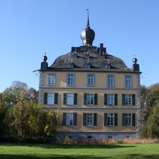
Burg Kendenich
2.6 km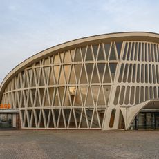
Feierabendhaus Knapsack
562 m
Hürther Waldsee
2.3 km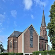
St. Matthäus
3.1 km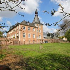
Kloster Benden
2.6 km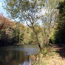
Naherholungsgebiet Hürtherberg
2.1 km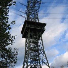
Anlage 4101, Mast 93
807 m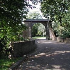
Burg Hermülheim
3.6 km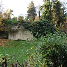
Fischenich Castle
3 km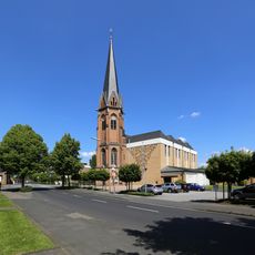
St. Severin
3.6 km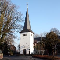
St. Johann Baptist
2.5 km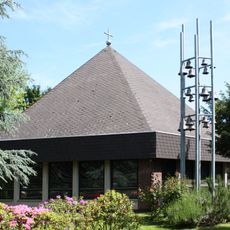
Martin-Luther-King-Kirche
3.3 km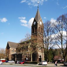
St. Katharina, Alt-Hürth
2 km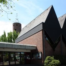
St. Josef
329 m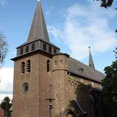
St. Martin
2.9 km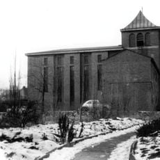
Dankeskirche
586 m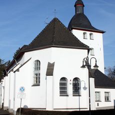
Alt St. Katharina
2 km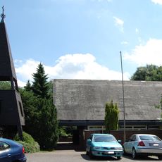
Former Nathan-Söderblom-Kirche
2.5 km
St. Wendelinus
3.5 km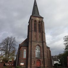
St. Servatius
2.9 km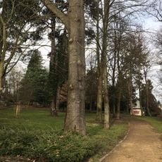
Kierberger Bahnhofspark
3.1 km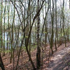
Waldseenbereich Theresia
2.1 km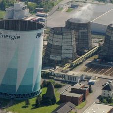
Goldenberg cooling tower (1952)
1.2 km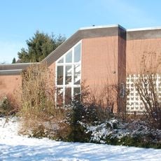
Andreaskirche
3.2 km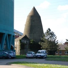
Knapsack air-raid shelter tower
1.2 km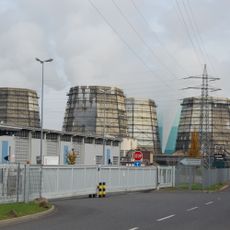
Cooling towers I–VI
1.3 km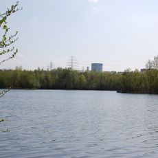
Waldseenbereich Theresia
2.3 kmReviews
Visited this place? Tap the stars to rate it and share your experience / photos with the community! Try now! You can cancel it anytime.
Discover hidden gems everywhere you go!
From secret cafés to breathtaking viewpoints, skip the crowded tourist spots and find places that match your style. Our app makes it easy with voice search, smart filtering, route optimization, and insider tips from travelers worldwide. Download now for the complete mobile experience.

A unique approach to discovering new places❞
— Le Figaro
All the places worth exploring❞
— France Info
A tailor-made excursion in just a few clicks❞
— 20 Minutes