Enable Location

We need your location to show you interesting places around you

Discover nearby places

Find interesting locations and hidden gems around you

Precise directions

Get accurate directions and distances to places

Your location is never shared with other users. It's only used when you tap the location button.

Hürther Waldsee

Log in to your account

Start exploring — it's free

Trusted by 61,422 travelers worldwide

Continue with Google
Continue with Apple
or

We will send you a code to connect

By continuing, you accept our Terms and Conditions and our Privacy Policy

Check your inbox

We've sent a pincode in your inbox. Please enter the code below.

Hürther Waldsee

Hürther Waldsee, Former surface mine lake in Hürth, Germany.

Description

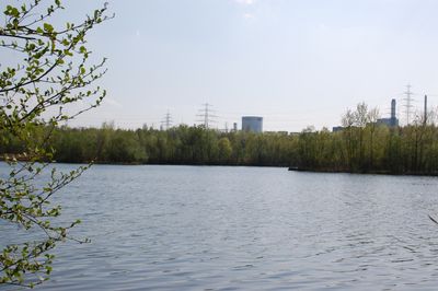
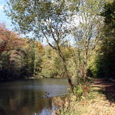
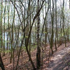
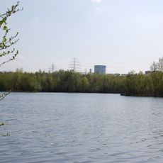
The Hürther Waldsee is a former surface mining lake near Cologne covering about 11 hectares with a maximum depth of 8 meters. The water body is surrounded by young mixed forest and contains two islands plus underwater dams within its perimeter.

History

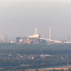
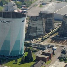
The lake formed in 1988 when groundwater filled the remaining pit of a brown coal mining operation that ran from 1965 until the early 1980s. After mining ceased, the open excavation gradually transformed into the present-day lake with its natural growth.

Culture

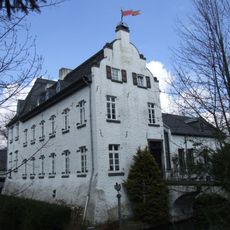
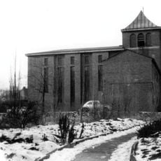
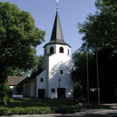
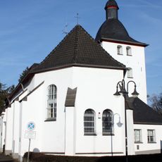
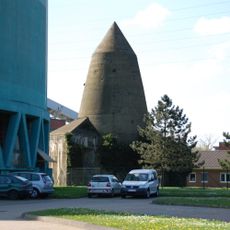
The lake sits near the former Cistercian monastery of Marienborn, linking the water landscape with historical religious sites in the area. Visitors can experience this connection between water and cultural heritage while walking along the marked paths.

Practical

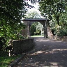
Access is limited to marked walking trails as the area is under environmental protection and swimming plus free shore access are not permitted. Visitors should stay on the designated paths and respect the regulations for this protected natural area.

Did you know?

Evening bat flights are a common sight over the lake, especially at dusk. Rare orchid species like the bee orchid and numerous freshwater snails make the location a hotspot for nature-minded visitors.

Location
Elevation above the sea
88.6 m
Part of
Villeseen
GPS coordinates
50.87390,6.84504
Latest update
December 13, 2025 12:25

AroundUs brings together thousands of curated places, local tips, and hidden gems, enriched daily by 60,000 contributors worldwide. Discover all places nearby (Hürth).

« Hürther Waldsee - Former surface mine lake in Hürth, Germany » is provided by Around Us (aroundus.com). Images and texts are derived from Wikimedia project under a Creative Commons license. You are allowed to copy, distribute, and modify copies of this page, under the conditions set by the license, as long as this note is clearly visible.

Discover hidden gems everywhere you go!

From secret cafés to breathtaking viewpoints, skip the crowded tourist spots and find places that match your style. Our app makes it easy with voice search, smart filtering, route optimization, and insider tips from travelers worldwide. Download now for the complete mobile experience.

Around Us App Screenshot

A unique approach to discovering new places

Le Figaro

All the places worth exploring

France Info

A tailor-made excursion in just a few clicks

20 Minutes

Around Us
Travel Guide & Maps
Download

Send to your phone

QR Code
1

Open the camera app on your mobile.

2

Point at the QR code with your camera. A notification will appear.

3

Tap the notification to open the link.