Enable Location

We need your location to show you interesting places around you

Discover nearby places

Find interesting locations and hidden gems around you

Precise directions

Get accurate directions and distances to places

Your location is never shared with other users. It's only used when you tap the location button.

Hürth

Log in to your account

Start exploring — it's free

Trusted by 61,417 travelers worldwide

Continue with Google
Continue with Apple
or

We will send you a code to connect

By continuing, you accept our Terms and Conditions and our Privacy Policy

Check your inbox

We've sent a pincode in your inbox. Please enter the code below.

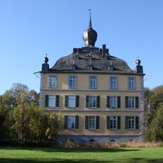
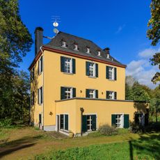
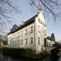
Hürth, Urban municipality in Rhein-Erft District, Germany.

Description

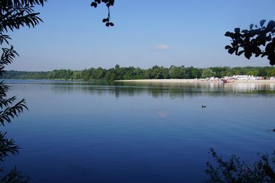
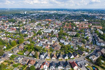
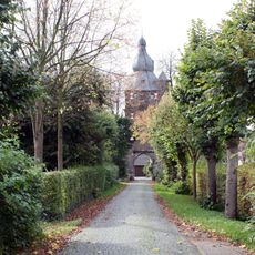
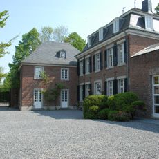
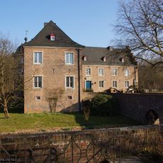
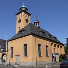
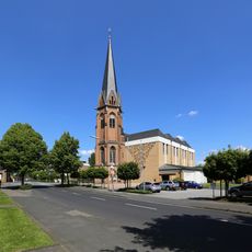
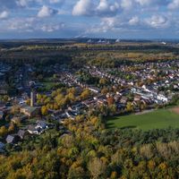
Hürth is a medium-sized district town in the Rhein-Erft District of Germany, situated roughly 6 kilometers southwest of central Cologne at 90 meters above sea level. The town comprises thirteen separate districts spread over a wide territory, each with its own residential layout and local character.

History

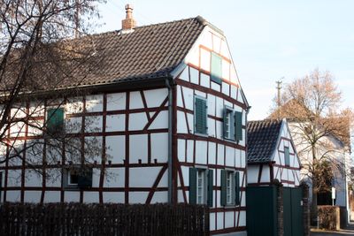
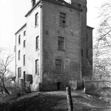
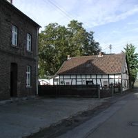
The municipality came into existence in 1930 through the merger of several rural settlements including Berrenrath, Fischenich, Gleuel, Hermülheim, and Kendenich along with their respective subdivisions. This consolidation created the current decentralized settlement pattern with distinct village centers spread across the territory.

Culture

This town hosts the Federal Office of Languages, a central institution founded in 1969 to train interpreters and translators for government work. The facility continues to provide language courses and certification programs for federal employees throughout Germany.

Practical

A dense bus network links all districts together and provides regular connections throughout the municipal area. The Stadtbahn line 18 offers a direct rail link to Cologne and Bonn, running at regular intervals during the day.

Did you know?

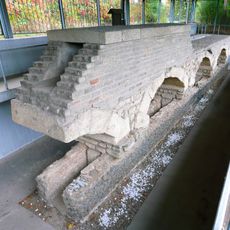
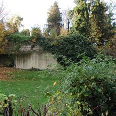
Sections of the Roman Eifel Aqueduct run beneath the municipal territory, an ancient water channel that once carried drinking water to Cologne. Parts of this underground system remain preserved and testify to Roman engineering methods in the region.

Elevation above the sea
90 m
Shares border with
Cologne, Erftstadt
GPS coordinates
50.87750,6.87611
Latest update
December 13, 2025 17:13

AroundUs brings together thousands of curated places, local tips, and hidden gems, enriched daily by 60,000 contributors worldwide. Discover all places nearby (Rhein-Erft District).

« Hürth - Urban municipality in Rhein-Erft District, Germany » is provided by Around Us (aroundus.com). Images and texts are derived from Wikimedia project under a Creative Commons license. You are allowed to copy, distribute, and modify copies of this page, under the conditions set by the license, as long as this note is clearly visible.

Discover hidden gems everywhere you go!

From secret cafés to breathtaking viewpoints, skip the crowded tourist spots and find places that match your style. Our app makes it easy with voice search, smart filtering, route optimization, and insider tips from travelers worldwide. Download now for the complete mobile experience.

Around Us App Screenshot

A unique approach to discovering new places

Le Figaro

All the places worth exploring

France Info

A tailor-made excursion in just a few clicks

20 Minutes

Around Us
Travel Guide & Maps
Download

Send to your phone

QR Code
1

Open the camera app on your mobile.

2

Point at the QR code with your camera. A notification will appear.

3

Tap the notification to open the link.