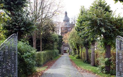
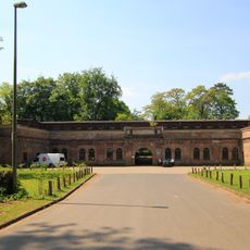
Burg Efferen, Medieval castle in Efferen, Germany
Burg Efferen is a medieval fortress in Efferen featuring thick stone walls and defensive towers that remain standing. The structure displays typical features of military architecture with multiple levels, defensive chambers, and residential spaces organized within the fortifications.
The fortress was constructed in the medieval period and functioned as part of the region's defense strategy against external threats. Over the centuries, it underwent renovations and modifications to adapt to changing defensive needs.
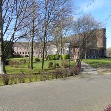
The castle served as a refuge and gathering place for the surrounding community across many centuries. You can observe how spaces were arranged and understand the building's role in the daily life and protection of the region.
The site is accessible on foot with pathways leading around the exterior walls for exploration. Visitors should wear sturdy footwear and be aware that some interior areas may have limited access due to structural conditions.
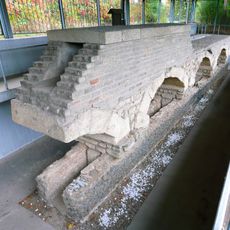
Below the castle lie medieval vaulted chambers that reveal how medieval inhabitants kept food fresh for extended periods. These underground rooms were a clever technical solution for preservation long before modern refrigeration existed.
The community of curious travelers
AroundUs brings together thousands of curated places, local tips, and hidden gems, enriched daily by 60,000 contributors worldwide.