
Hohes Leineufer, protected landscape in Lower Saxony, Germany
Location: Heidekreis
Inception: 1958
GPS coordinates: 52.68480,9.60159
Latest update: June 10, 2025 07:29
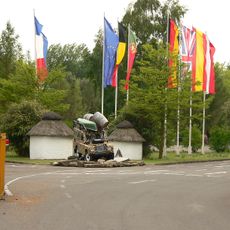
Serengeti Park
6.8 km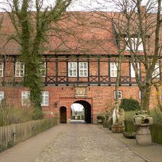
Ahlden House
8.8 km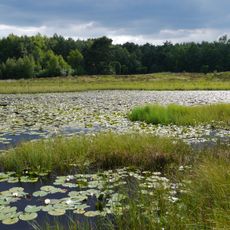
Blankes Flat
7.8 km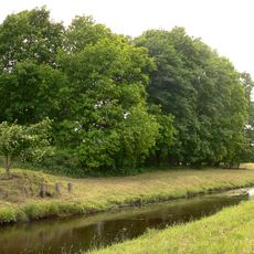
Hodenhagen Castle
7.9 km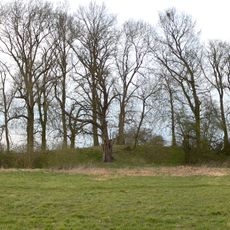
Bunkenburg
9 km
Blankenhagen Castle
5.2 km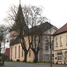
St. Johannis der Täufer
8.9 km
Uhlenburg
4.4 km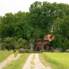
Blankenburg Castle
7.9 km
Heilige Familie (Rodewald)
8.2 km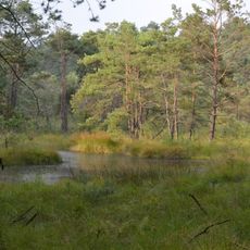
Moor in der Schotenheide
8.4 km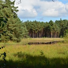
Bansee
5.4 km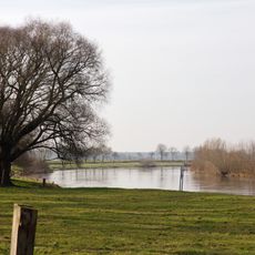
Aller-Leinetal
7 km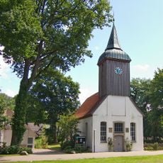
St. Thomas und Maria
8.1 km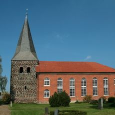
St.-Gorgonius-Kirche
5.1 km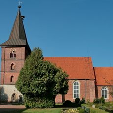
St. Aegidien
8.5 km
St Laurentius
1.1 km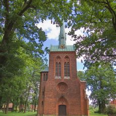
Zum heiligen Kreuz
4.9 km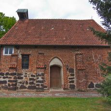
Kapelle Esperke
5.7 km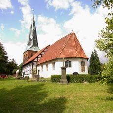
St. Pauli
3 km
St.-Katharinen-Kirche
5.4 km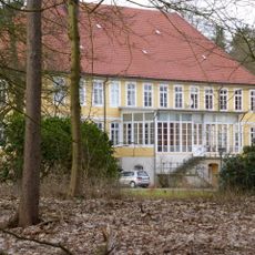
Rittergut Alt Schwarmstedt
2 km
Ehrenfriedhof Essel
4.4 km
Gut III
1.6 km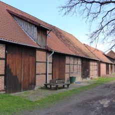
Scheunenviertel Ahlden
9.1 km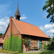
St.-Gertrud-Kapelle
1.6 km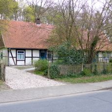
Mühlenweg 8
1.9 km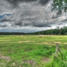
Warmeloher Heide
7.5 kmReviews
Visited this place? Tap the stars to rate it and share your experience / photos with the community! Try now! You can cancel it anytime.
Discover hidden gems everywhere you go!
From secret cafés to breathtaking viewpoints, skip the crowded tourist spots and find places that match your style. Our app makes it easy with voice search, smart filtering, route optimization, and insider tips from travelers worldwide. Download now for the complete mobile experience.

A unique approach to discovering new places❞
— Le Figaro
All the places worth exploring❞
— France Info
A tailor-made excursion in just a few clicks❞
— 20 Minutes