Chest opened
+${chestReward.xp} XP
Explorer
NOUVEAU ×${chestReward.collectible.quantity}
tapez pour fermer

See the monuments around you in AR Open chests in the app

Around Us is built for your phone — point your camera at the streets and discover the monuments and places around you in augmented reality. Around Us is built for your phone — chests unlock when you walk, explore and capture nearby places.

•

Enable Location

We need your location to show you interesting places around you

Discover nearby places

Find interesting locations and hidden gems around you

Precise directions

Get accurate directions and distances to places

Your location is never shared with other users. It's only used when you tap the location button.

Raschelberg

Log in to your account

Start exploring — it's free

Trusted by 94,527 travelers worldwide

Continue with Google
Continue with Apple
or

We will send you a code to connect

By continuing, you accept our Terms and Conditions and our Privacy Policy

Check your inbox

We've sent a pincode in your inbox. Please enter the code below.

Raschelberg

Raschelberg, Mountain summit in Freital, Germany.

Raschelberg is a hill in southeastern Freital, on the land of the Niederhäslich and Schweinsdorf districts. It rises amid the Poisenblick allotment gardens beside an old water reservoir south of Oststraße; the ground falls west to the Pfannengrund with the Schweinsdorfer Bach, east into the Geyersgraben and north toward the Poisenbach.

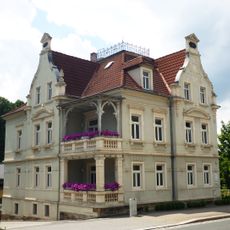
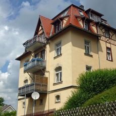
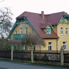
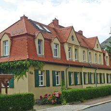
Settlement on Raschelberg began in the 1920s with development along Rudeltstraße. In subsequent decades, additional residential areas emerged, including Waldblicksiedlung, which shaped the mountain's character.

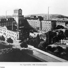
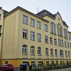
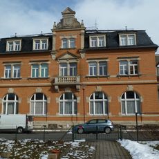
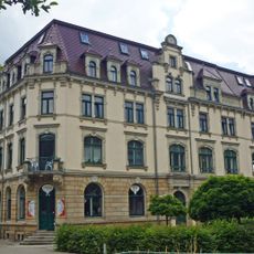
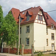
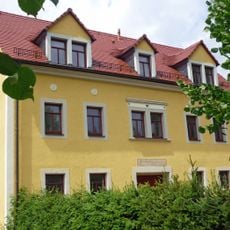
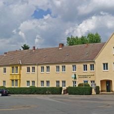
The Raschelberg housing cooperative was founded in 1996 from municipal housing stock and took over numerous buildings on the slope toward the Poisenbach, which it has managed since. Settlement of this slope began in the late 1920s, mainly along today's Rudeltstraße and in Schweinsdorf.

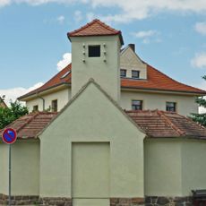
Raschelberg lies amid the Gartensparte Poisenblick allotments above Niederhäslich, beside an old water reservoir south of Oststraße. From the summit area paths drop west into the Pfannengrund with the Schweinsdorfer Bach, east into the Geyersgraben and north to the Poisenbach. The Waldblicksiedlung prefab estate stands to the east.

Coal seams from the Rotliegend geological period lie beneath the mountain. These underground resources once shaped the region's industrial past and now remain hidden beneath the forested terrain.

The community of curious travelers

AroundUs brings together thousands of curated places, local tips, and hidden gems, enriched daily by 94,527 contributors worldwide.

Start exploring
Location
GPS coordinates
50.98606,13.65489
Latest update
October 26, 2026 01:18
Reviews
Share your experience

No review yet

Discussions
Start a discussion...

No discussion yet

« Raschelberg - Mountain summit in Freital, Germany » is provided by Around Us (aroundus.com). Images and texts are derived from Wikimedia project under a Creative Commons license. You are allowed to copy, distribute, and modify copies of this page, under the conditions set by the license, as long as this note is clearly visible.

Discover hidden gems everywhere you go!

From secret cafés to breathtaking viewpoints, skip the crowded tourist spots and find places that match your style. Our app makes it easy with voice search, smart filtering, route optimization, and insider tips from travelers worldwide. Download now for the complete mobile experience.
Around Us App Screenshot
❝

A unique approach to discovering new places❞

— Le Figaro

❝

All the places worth exploring❞

— France Info

❝

A tailor-made excursion in just a few clicks❞

— 20 Minutes

Around Us
Travel Guide & Maps
Download

Send to your phone

QR Code
1

Open the camera app on your mobile.

2

Point at the QR code with your camera. A notification will appear.

3

Tap the notification to open the link.