Enable Location

We need your location to show you interesting places around you

Discover nearby places

Find interesting locations and hidden gems around you

Precise directions

Get accurate directions and distances to places

Your location is never shared with other users. It's only used when you tap the location button.

Freital

Log in to your account

Start exploring — it's free

Trusted by 62,191 travelers worldwide

Continue with Google
Continue with Apple
or

We will send you a code to connect

By continuing, you accept our Terms and Conditions and our Privacy Policy

Check your inbox

We've sent a pincode in your inbox. Please enter the code below.

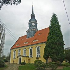
Freital, Medium regional center in Saxony, Germany

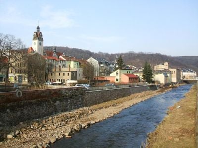
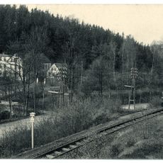
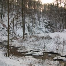
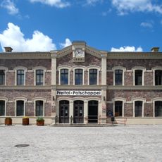
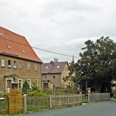
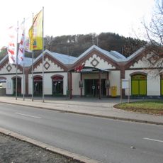
Freital is a medium-sized center in the Sächsische Schweiz-Osterzgebirge district in Saxony, just eight kilometers southwest of Dresden. The town follows the Weißeritz River at an elevation of around 171 meters and includes fifteen separate districts.

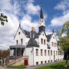
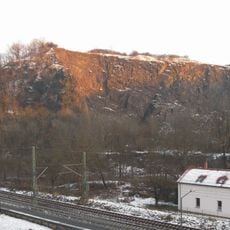
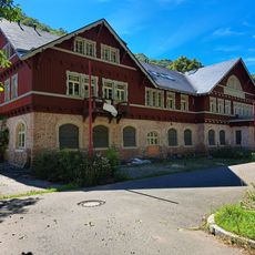
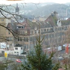
The town formed in 1921 when three villages joined together, after coal mining in the Döhlen Basin began in 1549. In 1842, iron smelting started with the first Saxon furnace at the Burgk ironworks.

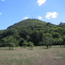
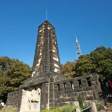
The King Albert Monument, a seventeen-meter sandstone obelisk on Windberg, represents the architectural heritage and regional traditions of Freital.

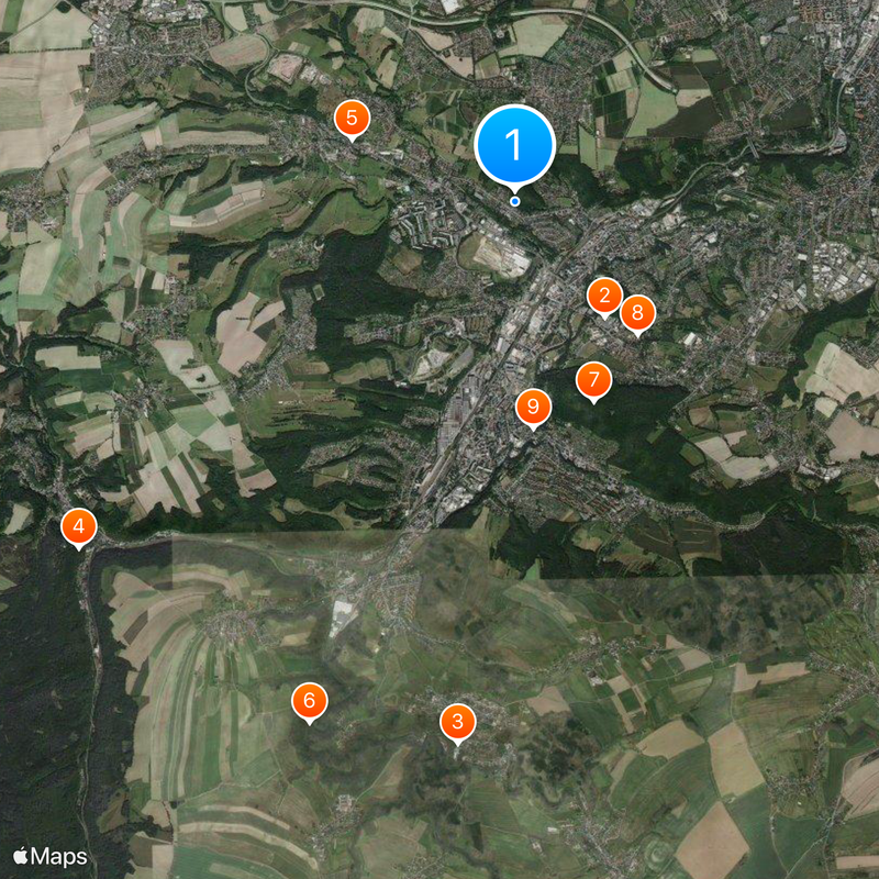
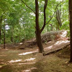
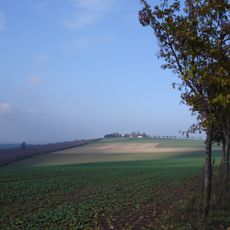
The separate districts sit in the river valleys and on the surrounding hills, so some routes can be a bit steep. Visitors coming from outside reach most areas through the main roads that run along the valleys.

The King Albert Monument on Windberg is a seventeen-meter sandstone obelisk that overlooks the entire valley. It commemorates the Saxon king and has been a landmark for hikers since its construction.

The community of curious travelers

AroundUs brings together thousands of curated places, local tips, and hidden gems, enriched daily by 60,000 contributors worldwide.

Start exploring
Inception
October 1, 1921
Elevation above the sea
171 m
Shares border with
Dresden, Bannewitz, Rabenau, Tharandt, Wilsdruff, Klingenberg
GPS coordinates
51.01667,13.65000
Latest update
December 14, 2025 17:18
« Freital - Medium regional center in Saxony, Germany » is provided by Around Us (aroundus.com). Images and texts are derived from Wikimedia project under a Creative Commons license. You are allowed to copy, distribute, and modify copies of this page, under the conditions set by the license, as long as this note is clearly visible.

Discover hidden gems everywhere you go!

From secret cafés to breathtaking viewpoints, skip the crowded tourist spots and find places that match your style. Our app makes it easy with voice search, smart filtering, route optimization, and insider tips from travelers worldwide. Download now for the complete mobile experience.

Around Us App Screenshot

A unique approach to discovering new places

Le Figaro

All the places worth exploring

France Info

A tailor-made excursion in just a few clicks

20 Minutes

Around Us
Travel Guide & Maps
Download

Send to your phone

QR Code
1

Open the camera app on your mobile.

2

Point at the QR code with your camera. A notification will appear.

3

Tap the notification to open the link.