Enable Location

We need your location to show you interesting places around you

Discover nearby places

Find interesting locations and hidden gems around you

Precise directions

Get accurate directions and distances to places

Your location is never shared with other users. It's only used when you tap the location button.

Log in to your account

Start exploring — it's free

Trusted by 62,189 travelers worldwide

Continue with Google
Continue with Apple
or

We will send you a code to connect

By continuing, you accept our Terms and Conditions and our Privacy Policy

Check your inbox

We've sent a pincode in your inbox. Please enter the code below.

Alter Tiefer Fürstenstolln

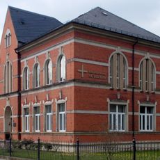
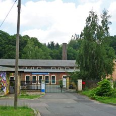
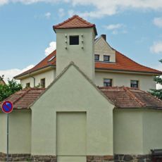
Alter Tiefer Fürstenstolln, Mining tunnel heritage site in Halsbrücke, Germany.

The Alter Tiefer Fürstenstolln is a tunnel system beneath the Freiberg region with a main passage about 10 kilometers long and side branches extending across a much larger underground network. The system connects several localities and continues to function partly today as a drainage network.

The tunnel was first documented in 1384 and evolved over five centuries into the backbone of water management for the Freiberg Mining District. Its role as a drainage system was essential to keep mines operating and to maintain regional stability.

The entrance displays carefully crafted stone elements including a Gneiss arch and sandstone blocks carved with the Saxon coat of arms. These architectural details reflect the skilled craftsmanship of miners who dug and shaped this passage by hand.

The tunnel system still operates today, channeling water into streams and rivers that contribute to local power generation. Visitors should know that this is an active water system and not all areas are freely accessible.

The main entrance features a special reference stone called the zero point marker that indicates the reference height for the entire historic surveying system of Freiberg mining. This single stone stands as a quiet record of the precise surveying methods miners had developed centuries ago.

The community of curious travelers

AroundUs brings together thousands of curated places, local tips, and hidden gems, enriched daily by 60,000 contributors worldwide.

Start exploring
Location
Inception
1822
Address
Tuttendorf
GPS coordinates
50.98929,13.65423
Latest update
December 9, 2025 20:22
« Alter Tiefer Fürstenstolln - Mining tunnel heritage site in Halsbrücke, Germany » is provided by Around Us (aroundus.com). Images and texts are derived from Wikimedia project under a Creative Commons license. You are allowed to copy, distribute, and modify copies of this page, under the conditions set by the license, as long as this note is clearly visible.

Discover hidden gems everywhere you go!

From secret cafés to breathtaking viewpoints, skip the crowded tourist spots and find places that match your style. Our app makes it easy with voice search, smart filtering, route optimization, and insider tips from travelers worldwide. Download now for the complete mobile experience.

Around Us App Screenshot

A unique approach to discovering new places

Le Figaro

All the places worth exploring

France Info

A tailor-made excursion in just a few clicks

20 Minutes

Around Us
Travel Guide & Maps
Download

Send to your phone

QR Code
1

Open the camera app on your mobile.

2

Point at the QR code with your camera. A notification will appear.

3

Tap the notification to open the link.