
Einfriedung Nähe Wörther Straße in Donaustauf
Einfriedung Nähe Wörther Straße in Donaustauf, cultural heritage monument D-3-75-130-34 (3) in Donaustauf, Bavaria
Location: Donaustauf
Part of: Fürstengarten
Address: Nähe Wörther Straße
GPS coordinates: 49.02975,12.21429
Latest update: June 2, 2025 22:30

Walhalla memorial
741 m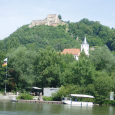
Donaustauf Castle
541 m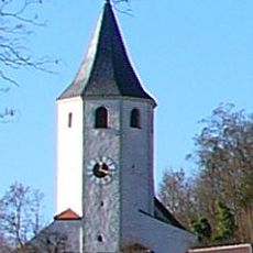
St. Michael
425 m
Rathaus Donaustauf
295 m
Walhalla
729 m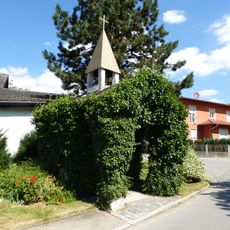
Wegkapelle Sebastian
743 m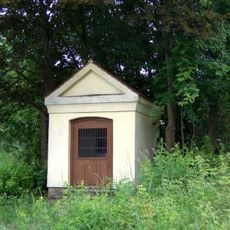
Wegkapelle
1.3 km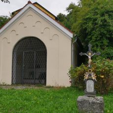
Wegkapelle Maria Schnee
125 m
Kirche Walhallastraße 10 in Donaustauf
179 m
Chinesischer Turm
18 m
Stadel, sog. Popenstadel oder Bütthaus
1.2 km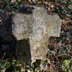
Steinkreuz
65 m
Ehemalige Gaststätte Walhalla
103 m
Pavillon Nähe Wörther Straße in Donaustauf
4 m
Burg Donaustauf
541 m
Wohnhaus
644 m
Maxstraße 1
299 m
Gasthaus Burgfrieden
596 m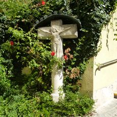
Steinkreuz
488 m
Wohnhaus
489 m
Nepomukfigur
276 m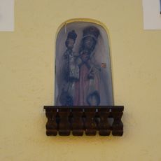
Hausmadonna
312 m
Verwaltungshaus der Walhalla
616 m
Wohn- und Geschäftshaus
354 m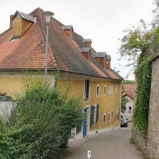
Wohnhaus
344 m
Wohnhaus, sog. Wippbäckerhaus
555 m
Albertinum
443 m
Ehemaliges Türmerhaus
621 mReviews
Visited this place? Tap the stars to rate it and share your experience / photos with the community! Try now! You can cancel it anytime.
Discover hidden gems everywhere you go!
From secret cafés to breathtaking viewpoints, skip the crowded tourist spots and find places that match your style. Our app makes it easy with voice search, smart filtering, route optimization, and insider tips from travelers worldwide. Download now for the complete mobile experience.

A unique approach to discovering new places❞
— Le Figaro
All the places worth exploring❞
— France Info
A tailor-made excursion in just a few clicks❞
— 20 Minutes