Donaustauf, market municipality of Germany
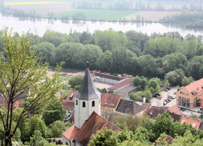
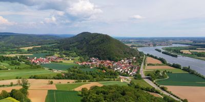
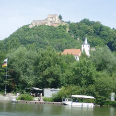
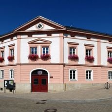
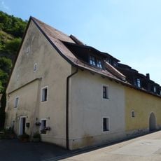
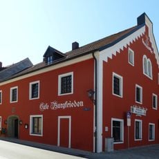
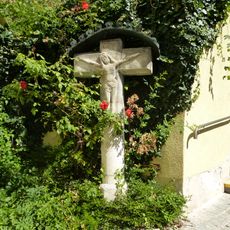
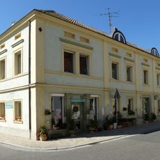
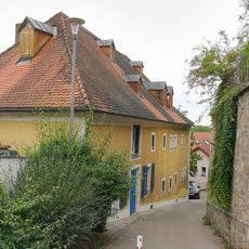
Donaustauf is a small market town situated along the banks of the Danube River near Regensburg in Bavaria. The place features traditional houses with typical Bavarian architecture, quiet streets and a market square, while medieval castle ruins and the monumental Walhalla building perched on a hill above the river shape the landscape.
The town originated as a trading settlement along the Danube and fell under the rule of the Duchy of Bavaria and later the Bishopric of Regensburg. In the early 19th century, King Ludwig I commissioned the grand Walhalla building here, which opened in 1842 and permanently transformed the region.
The town takes its name from the Danube River that runs alongside it and has long served as a gathering place for the region. Today, traditional Bavarian houses with shutters and flower boxes shape the streets, where locals gather regularly at the market square, especially on market days when farmers and craftspeople sell their goods.
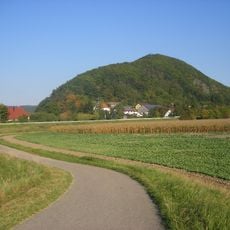
The town is easily reached by local transport from Regensburg and offers a peaceful setting for exploring on foot. Visitors should wear sturdy shoes as there are paths leading to the Danube riverbank and the Walhalla hill, where terrain becomes hilly.
The Walhalla building was designed as a replica of the ancient Greek Parthenon and was meant to honor significant figures from German history. Less known is that the neighboring Thurn and Taxis family built a palace here in 1843, but it was destroyed by fire in 1880 and has since vanished.
The community of curious travelers
AroundUs brings together thousands of curated places, local tips, and hidden gems, enriched daily by 60,000 contributors worldwide.