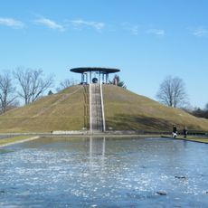
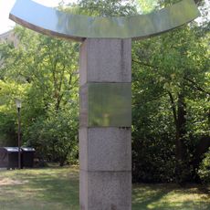
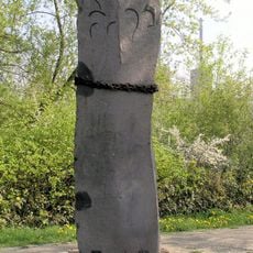
Japaneck, Tripoint in Lichterfelde, Germany.
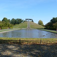
Japaneck is a tripoint where three administrative regions meet: Berlin's district of Steglitz-Zehlendorf and Brandenburg's counties of Teltow-Fläming and Potsdam-Mittelmark. The location sits at coordinates 52.399069, 13.312117 in an open landscape near Osdorf.
Until 1990, this location marked the border between West Berlin and East Germany, featuring wide security zones and installations. After the Wall fell, the area became a symbol of reunification and international cooperation.
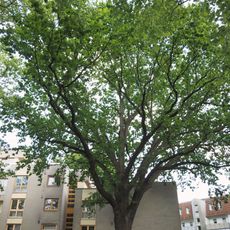
The name Japaneck comes from a 1989 media campaign that brought international attention to this border area. Japanese donors responded by funding a tree-planting project that transformed the landscape.
The site is accessible via several walking routes, including the Berlin Wall Trail, the Teltow Village Path, and the Jacob's Way. The trails are well-marked and pass through flat, open terrain.
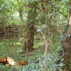
In 1995, around 1,000 Japanese cherry trees were planted here, forming a 1.8-kilometer avenue along the Berlin state border. Every spring, their blossoms serve as a reminder of the connection between Japan and this border region.
The community of curious travelers
AroundUs brings together thousands of curated places, local tips, and hidden gems, enriched daily by 60,000 contributors worldwide.