
Garu-Tempane District, former district of Ghana
Location: Upper East Region
Capital city: Garu
Shares border with: Bawku Municipal District
GPS coordinates: 10.85000,-0.18333
Latest update: April 4, 2025 17:06
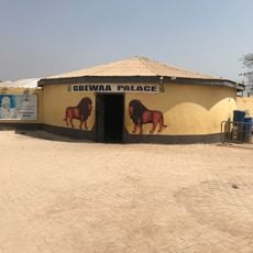
Gbewaa Palace
157.9 km
Paga Crocodile Pond
102.3 km
Koutammakou
166.8 km
Kéran National Park
118.9 km
Pikworo Slave camp
102.8 km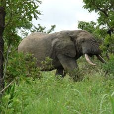
Nazinga Game Ranch
147 km
Kaboré Tambi National Park
145.8 km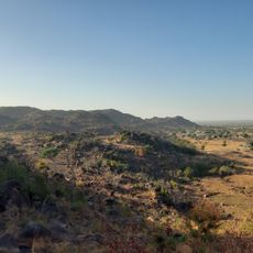
Tongo Hills
71.6 km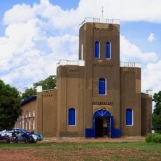
Cathedral Basilica of Our Lady of Seven Sorrows
97.9 km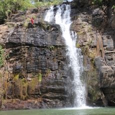
Tanougou Falls
178.1 km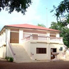
Musée régional de Natitingou
181.3 km
Lake Kompienga
95 km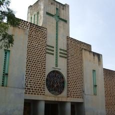
Our Lady of Graces Cathedral, Koupéla
149.6 km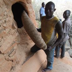
Nano
109.3 km
Bantia Botanical Garden
142.5 km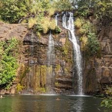
Chutes de Tanougou
177.8 km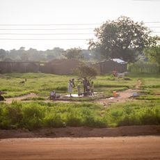
Well of Hope
66.2 km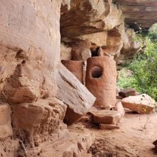
Granaries at the Caves of Nok
40.7 km
Red Clay Studio
166.2 km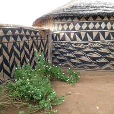
Tiébélé Royal Court
88.6 km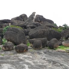
Hiding Cave
72 km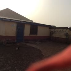
Dallung Community Library
163.5 km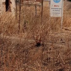
Moya
162.7 km
Yendi Cathedral
157.5 km
Arli National Park
181.8 km
Zonno Zoore
62.8 km
Ranch de gibier et forêt de Nazinga
146.2 km
Bénin Tata Somba
180.7 kmReviews
Visited this place? Tap the stars to rate it and share your experience / photos with the community! Try now! You can cancel it anytime.
Discover hidden gems everywhere you go!
From secret cafés to breathtaking viewpoints, skip the crowded tourist spots and find places that match your style. Our app makes it easy with voice search, smart filtering, route optimization, and insider tips from travelers worldwide. Download now for the complete mobile experience.

A unique approach to discovering new places❞
— Le Figaro
All the places worth exploring❞
— France Info
A tailor-made excursion in just a few clicks❞
— 20 Minutes