Imathia Regional Unit, Regional unit in Central Macedonia, Greece
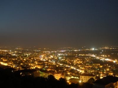
Imathia spans about 1,700 square kilometers (656 square miles) and connects flat farmland in the northeast with the Vermio Mountains in the west. The terrain transitions from wide agricultural plains to more rugged, forested highlands, creating a varied landscape across the region.
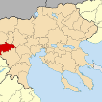
The region was created in 2011 through the Kallikratis reform, which reorganized Greece's administrative divisions. The new structure maintained the same geographical boundaries as the former prefecture, ensuring continuity in how the territory was defined.
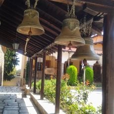
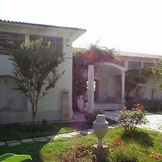
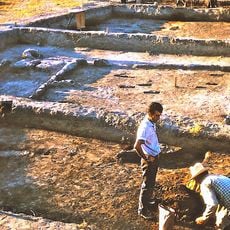
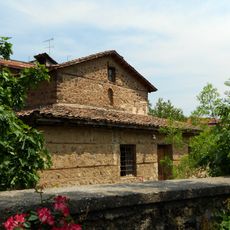
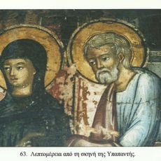
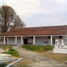
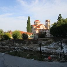
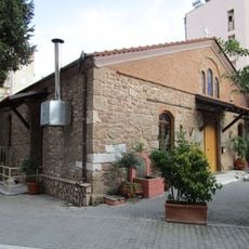
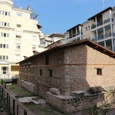
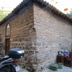
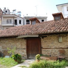
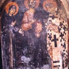
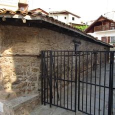
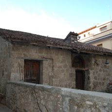
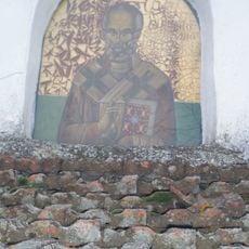
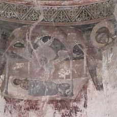
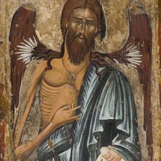
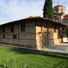
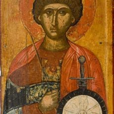
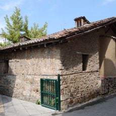
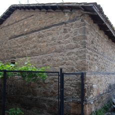
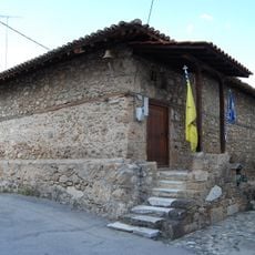
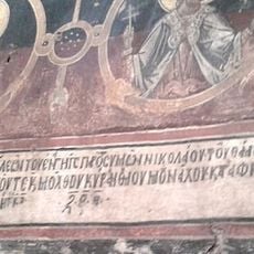
Veroia and Naoussa host museums displaying archaeological finds and Byzantine art that reflect the region's heritage. Wine production has shaped daily life here for centuries, and you can see how this tradition continues to influence local identity and celebrations.
The region connects to Thessaloniki through a railway line extending to Florina, with main stations in Platy, Veroia, and Alexandreia. These train connections make it straightforward to travel between the larger towns and explore the surrounding areas.
The northeastern Kampania plain is known for growing peaches and strawberries in large quantities for the region. These crops define much of the local farming character and contribute significantly to Central Macedonia's fruit production.
The community of curious travelers
AroundUs brings together thousands of curated places, local tips, and hidden gems, enriched daily by 60,000 contributors worldwide.