
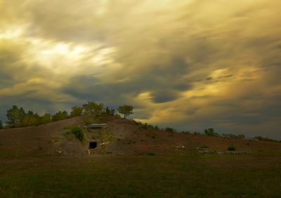
Tholos tomb of Georgiko - Xironeri, Mycenaean tomb in Thessaly
Location: Karditsa Municipality
GPS coordinates: 39.32757,21.85198
Latest update: March 12, 2025 01:28
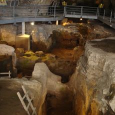
Theopetra Cave
42.1 km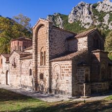
Porta Panagia
25.5 km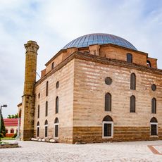
Osman Shah Mosque
25.7 km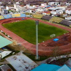
Municipal Stadium of Karditsa
8.1 km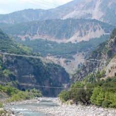
Korakou bridge
37.6 km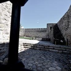
Trikala Castle
26.8 km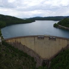
Plastiras Dam
13.7 km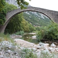
Portaikos Bridge
26.2 km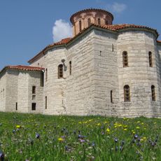
Petra Monastery (Karditsa)
7.4 km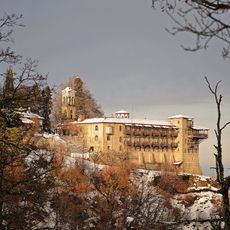
Koroni Monastery
6.4 km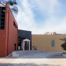
Archaeological Museum of Karditsa
7 km
Seltsou Monastery
38.6 km
Monastery of the Cave, Karditsa
30 km
Agia Paraskevi Monastery
44.4 km
Рендинский монастырь
33.9 km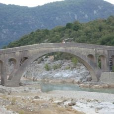
Templa bridge
44 km
Church of Panagia Faneromeni, Trikala
26.7 km
Panagia Pelekiti Monastery
16 km
Church of Agia Episkepsi, Trikala
26.8 km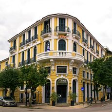
Hotel Arni, Karditsa
7.3 km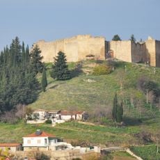
Fanari Castle
10.7 km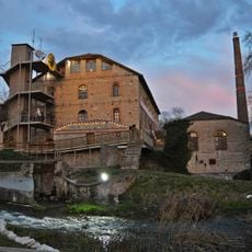
Mill of Matsopoulos
25.6 km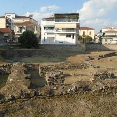
Asklepieion of Trikala
26.6 km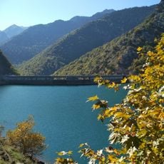
Periochi Limnis Tavropou
12.8 km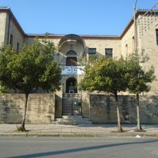
Dorothea Scholi Trikalon
26.6 km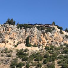
Moni Koimisis Theotokou, Kormbovo
36 km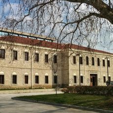
Courthouse of Trikala
26.4 km
Primary school of Fanari
10.5 kmVisited this place? Tap the stars to rate it and share your experience / photos with the community! Try now! You can cancel it anytime.
Discover hidden gems everywhere you go!
From secret cafés to breathtaking viewpoints, skip the crowded tourist spots and find places that match your style. Our app makes it easy with voice search, smart filtering, route optimization, and insider tips from travelers worldwide. Download now for the complete mobile experience.

A unique approach to discovering new places❞
— Le Figaro
All the places worth exploring❞
— France Info
A tailor-made excursion in just a few clicks❞
— 20 Minutes