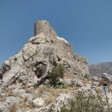
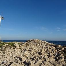
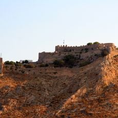
Leros Municipality, municipality of Greece
Location: Kalymnos Regional Unit
Inception: September 28, 1948
Website: https://leros.gr
GPS coordinates: 37.12920,26.75989
Latest update: March 3, 2025 02:35
Didyma
52.4 km
Cave of the Apocalypse
28.1 km
Monastery of Saint John the Theologian
27.5 km
Palaio Pyli (Kos)
49.8 km
Antimachia Castle
48.9 km
Basilica of Agios Stefanos
46.6 km
Temple of Apollo at Didyma
52.4 km
Aspri Petra
49.5 km
Tomb of Charmylos
47.9 km
Glaros
41.7 km
Church Agios Pavlos
46.6 km
Castle of Chora of Kalymnos
25.3 km
Chrysocheria Castle
26.9 km
Poseidon Altar
45.8 km
Panteli Castle
9.3 km
Sikati Cave
17.6 km
Agios Isidoros
5.5 km
Basilica of Mastichari
42.2 km
Agios Isidoros Drymona
5.5 km
Metamorfosi Sotiros Christou Cathedral, Kalymnos
28.2 km
Agios Petros Drymona
5.7 km
Agios Georgios Drymonas
5.7 km
Agia Paraskevi Platanou, Panteli
9.1 km
Belenis tower
7.7 km
Sotiras Christos Platanou, Leros
9.2 km
Sanctuary of Pythaean Apollona, Kardamaina
51.6 km
Panteli windmills
9.6 km
Agios Ioannis Theologos Lakkiou
8.1 kmReviews
Visited this place? Tap the stars to rate it and share your experience / photos with the community! Try now! You can cancel it anytime.
Discover hidden gems everywhere you go!
From secret cafés to breathtaking viewpoints, skip the crowded tourist spots and find places that match your style. Our app makes it easy with voice search, smart filtering, route optimization, and insider tips from travelers worldwide. Download now for the complete mobile experience.
A unique approach to discovering new places❞
— Le Figaro
All the places worth exploring❞
— France Info
A tailor-made excursion in just a few clicks❞
— 20 Minutes