Guidel, commune in Morbihan, France
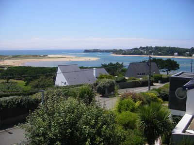
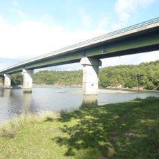
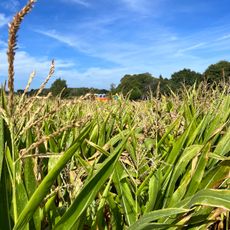
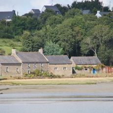
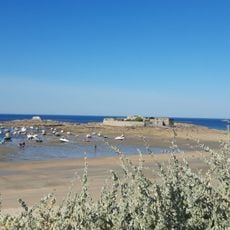
Guidel is a commune in Brittany, France, located in the canton of Pont-Scorff within Morbihan department. The area combines residential zones with farmland and small commercial spaces.
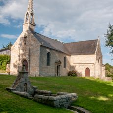
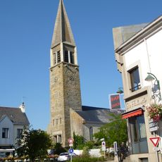
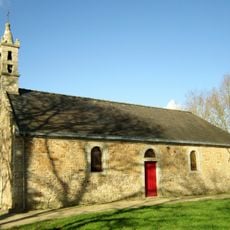
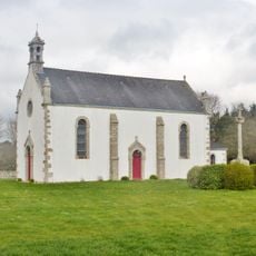
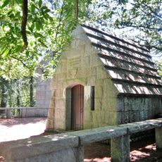
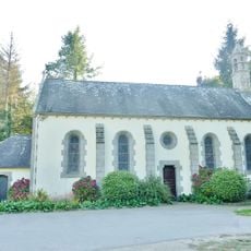
Guidel developed as a typical Breton commune with historical ties to the maritime and agricultural culture of the region. Its growth followed the expansion of nearby Lorient during the 20th century.
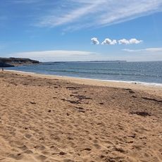
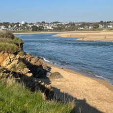
The commune sits in a well-serviced region with access to local amenities and infrastructure. Visitors should know the area is primarily rural, and most activities are best reached by car.
The community of curious travelers
AroundUs brings together thousands of curated places, local tips, and hidden gems, enriched daily by 60,000 contributors worldwide.