Enable Location

We need your location to show you interesting places around you

Discover nearby places

Find interesting locations and hidden gems around you

Precise directions

Get accurate directions and distances to places

Your location is never shared with other users. It's only used when you tap the location button.

Guer

Log in to your account

Start exploring — it's free

Trusted by 63,116 travelers worldwide

Continue with Google
Continue with Apple
or

We will send you a code to connect

By continuing, you accept our Terms and Conditions and our Privacy Policy

Check your inbox

We've sent a pincode in your inbox. Please enter the code below.

Discussion Reviews 1 Photos
19.4k Popularity

Guer, commune in Morbihan, France

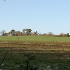
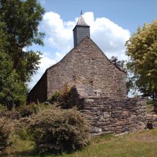
Guer is a small commune in Brittany, France, set among gentle hills, farms and small woods with open fields stretching across the landscape. The settlement features old stone houses and cobbled streets that wind between well-kept gardens and ancient trees.

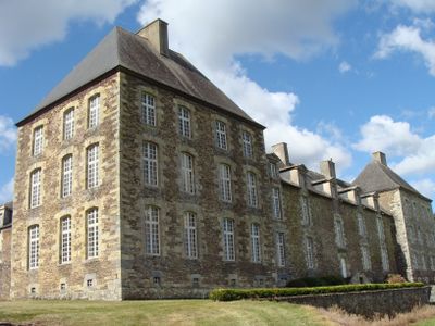
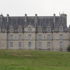
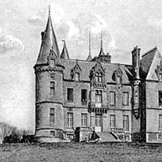
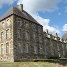
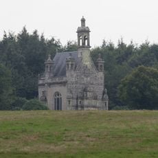
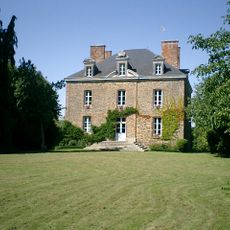
Guer's history reaches back to the 6th century when Saint Malo visited the region and a monastery was founded there. Over the centuries it remained under the control of local nobles and seigneurs, with castles like Coëtbo serving as seats of power for families such as the Marnière.

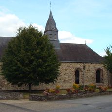
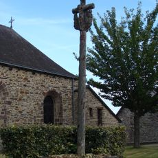
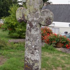
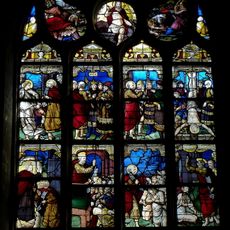
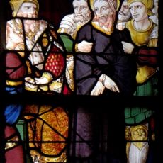
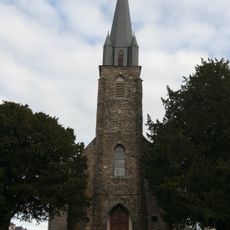
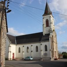
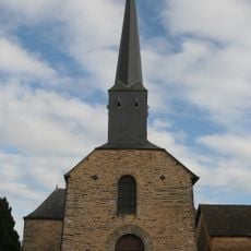
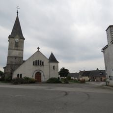
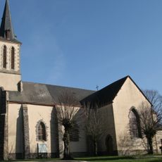
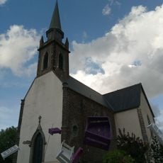
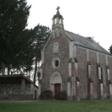
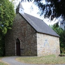
The Breton language heritage shapes the town's identity, with place names like Gwern-Porc'hoed reflecting centuries of cultural continuity in the region. The church of Saint-Gurval remains central to community gatherings and traditional celebrations that mark the rhythm of village life.

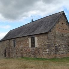
Guer is best explored on foot through the quiet village streets to see old buildings and churches that tell stories of the past. The peaceful pace and open countryside around the settlement make walking the natural way to experience the rural character and local architecture.

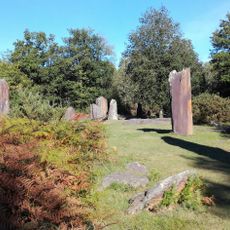
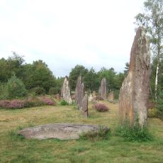
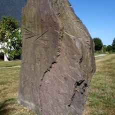
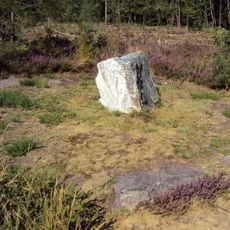
The valley of Guer served as an important crossroads in Roman times with ancient roads connecting different parts of Gaul, and archaeologists have found prehistoric tools showing humans settled here for thousands of years. The name derives from the old Breton word 'uuern' meaning 'marsh' or 'alder trees', reflecting the wetland character of the landscape.

The community of curious travelers

AroundUs brings together thousands of curated places, local tips, and hidden gems, enriched daily by 60,000 contributors worldwide.

Start exploring
Location
Location
De l'Oust à Brocéliande Communauté
Elevation above the sea
69 m
Shares border with
Plélan-le-Grand, Loutehel, Les Brulais, Comblessac, Monteneuf, Beignon, Saint-Malo-de-Beignon, Porcaro, Val d'Anast, Carentoir
Phone
GPS coordinates
47.90389,-2.12056
Latest update
February 16, 2026 22:40
Reviews
Share your experience

No review yet

Discussions
Start a discussion...

No discussion yet

« Guer - commune in Morbihan, France » is provided by Around Us (aroundus.com). Images and texts are derived from Wikimedia project under a Creative Commons license. You are allowed to copy, distribute, and modify copies of this page, under the conditions set by the license, as long as this note is clearly visible.

Discover hidden gems everywhere you go!

From secret cafés to breathtaking viewpoints, skip the crowded tourist spots and find places that match your style. Our app makes it easy with voice search, smart filtering, route optimization, and insider tips from travelers worldwide. Download now for the complete mobile experience.

Around Us App Screenshot

A unique approach to discovering new places

Le Figaro

All the places worth exploring

France Info

A tailor-made excursion in just a few clicks

20 Minutes

Around Us
Travel Guide & Maps
Download

Send to your phone

QR Code
1

Open the camera app on your mobile.

2

Point at the QR code with your camera. A notification will appear.

3

Tap the notification to open the link.