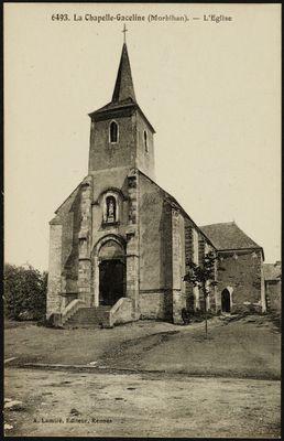
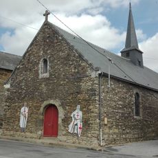
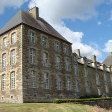
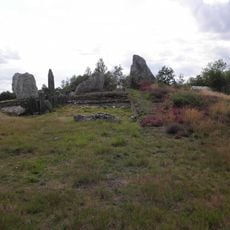
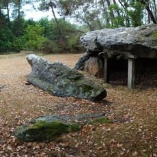
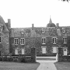
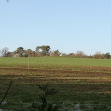
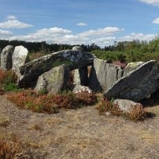
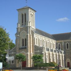
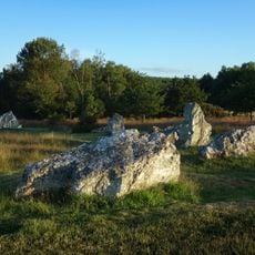
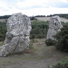
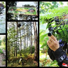
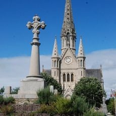
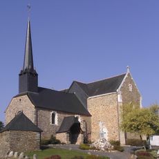
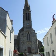
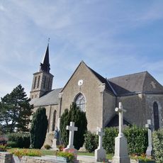
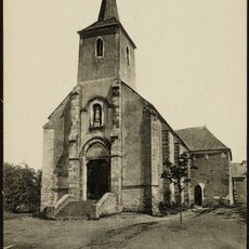
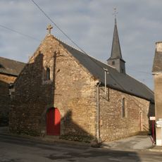
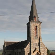
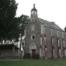
La Chapelle-Gaceline, former commune in Morbihan, France
Location: canton of La Gacilly
Location: Morbihan
Location: arrondissement of Vannes
Capital city: La Chapelle-Gaceline
Elevation above the sea: 20 m
Shares border with: Carentoir, Sixt-sur-Aff, La Gacilly
GPS coordinates: 47.78361,-2.10667
Latest update: March 22, 2025 01:24
Île-aux-Pies
7.8 km
Jardin botanique Yves Rocher de La Gacilly
2.7 km
Site mégalithique de Saint-Just
10.1 km
Chapelle Saint-Jean-Baptiste
4.3 km
Château de Coëtbo
10.4 km
La Ferme du Monde
2.4 km
Jardin Botanique Yves Rocher
2.2 km
Allée couverte de Tréal
7.9 km
Tumulus de Château Bû
9.3 km
Tablettes de Cournon
3.2 km
Château de La Villechauve
9 km
Romano-Celtic temple
6.9 km
Four Sarrazin
8.8 km
Église Saint-Sixte de Sixt-sur-Aff
2.2 km
Le Tribunal
9 km
Les Roches Piquées
8.9 km
Paintball R-Game
5 km
Église Saint-Jean-Baptiste de Bains-sur-Oust
9.2 km
Église Saint-Michel de Bruc-sur-Aff
7.3 km
Église Saint-Marcoul de Carentoir
4.2 km
Église Saint-Séglin
10.9 km
Église Saint-Éloi
10.4 km
Église Saint-Nicolas de La Gacilly
2.7 km
Église Saint-Nicolas de Saint-Nicolas-du-Tertre
8.8 km
Église Saint-Pierre de La Chapelle-Gaceline
84 m
Église Saint-Jean-Baptiste des Templiers puis Hospitaliers du temple
4.3 km
Église Saint-François-de-Sales
5.3 km
Chapelle Notre-Dame de Lorette
9.6 kmReviews
Visited this place? Tap the stars to rate it and share your experience / photos with the community! Try now! You can cancel it anytime.
Discover hidden gems everywhere you go!
From secret cafés to breathtaking viewpoints, skip the crowded tourist spots and find places that match your style. Our app makes it easy with voice search, smart filtering, route optimization, and insider tips from travelers worldwide. Download now for the complete mobile experience.
A unique approach to discovering new places❞
— Le Figaro
All the places worth exploring❞
— France Info
A tailor-made excursion in just a few clicks❞
— 20 Minutes