Marne, Major river in northern France
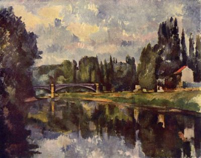
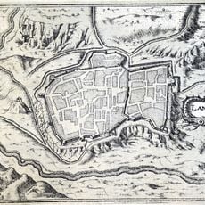
The Marne stretches 525 kilometers from the Langres plateau at 423 meters elevation to where it meets the Seine near Paris. The waterway winds through open countryside, forests, and several towns, passing through plains and gentle hills along its course.
The First Battle of the Marne in September 1914 marked a turning point when Allied forces stopped the German advance toward Paris. The waterway also served as an important trade route during the Revolution and the 19th century, carrying goods between the capital and eastern regions.
The waterway flows through the Champagne region, where vineyards along its banks form part of the local wine economy. The landscape around the water shows a mix of farming land and small villages that have worked with grape growing for generations.
Multiple access points and marked paths along the banks let visitors explore the waterway by cycling, walking, and water activities. The riverside paths are usually flat and accessible for most visitors, though some sections may have uneven ground.
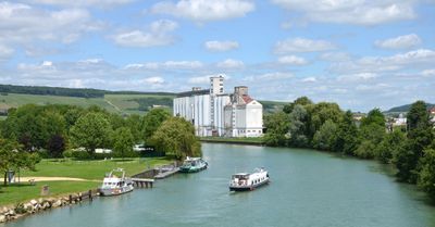
The waterway connects to the Saône and Rhône through a complex system of canals built during the 19th century. These artificial channels allowed barges to carry goods over long distances without relying on roads.
The community of curious travelers
AroundUs brings together thousands of curated places, local tips, and hidden gems, enriched daily by 60,000 contributors worldwide.