Mount Pelée, Active stratovolcano in northern Martinique, France
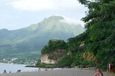
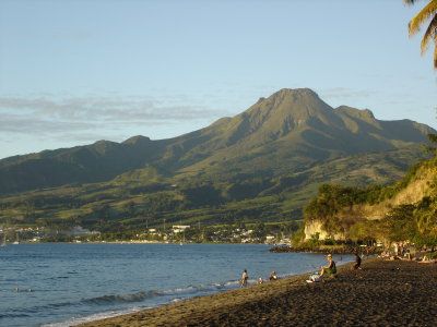
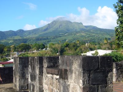
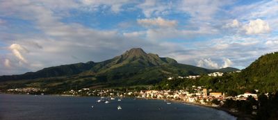
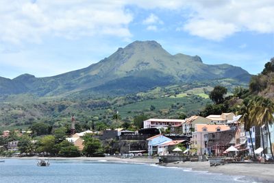
Mount Pelée is a volcano on the northern coast of Martinique that reaches 1397 meters (4583 feet) in elevation and forms the highest point on the island. The summit shows bare slopes with fumaroles venting steam, while the lower sections are covered in dense rainforest that gives way to narrow hiking trails.
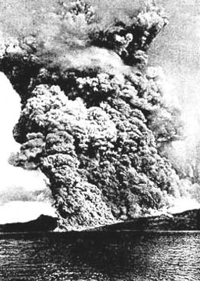
The eruption on May 8, 1902, destroyed the town of Saint-Pierre within minutes through a superheated cloud of gas and ash that swept down the slopes. After this catastrophe, the volcano remained mostly quiet until renewed eruptions between 1929 and 1932 formed a new lava dome inside the crater.
The name derives from a French word meaning bald or peeled, referring to the bare summit that contrasts with the tropical forest below. Hikers often encounter local guides on the trails who share stories about living in the shadow of an active volcano.
Hikers should check the volcanic alert status with the local observatory before setting out and prepare for changing weather conditions that often bring fog and strong winds. The ascent to the summit typically starts in the early morning hours to avoid midday heat and enjoy views before clouds roll in.
The volcano is among the few stratovolcanoes worldwide that completely destroyed a city through a pyroclastic flow. The ruins of Saint-Pierre at the foot of the slope still remind visitors of the speed and force of this natural event that swept through streets in seconds.
The community of curious travelers
AroundUs brings together thousands of curated places, local tips, and hidden gems, enriched daily by 60,000 contributors worldwide.