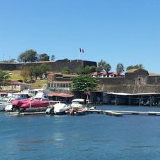
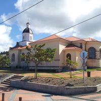
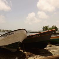
Martinique, Caribbean island in French West Indies, France
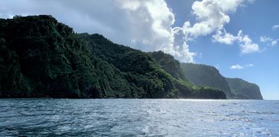
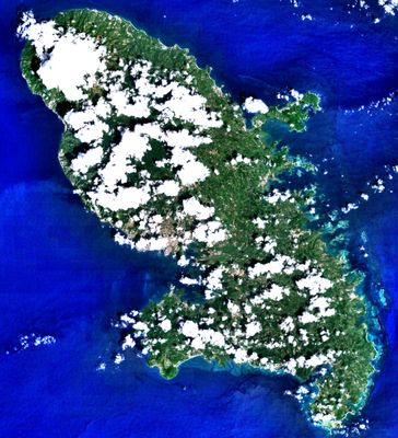
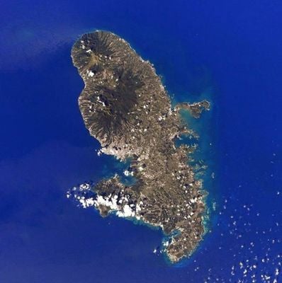
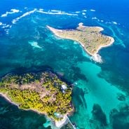
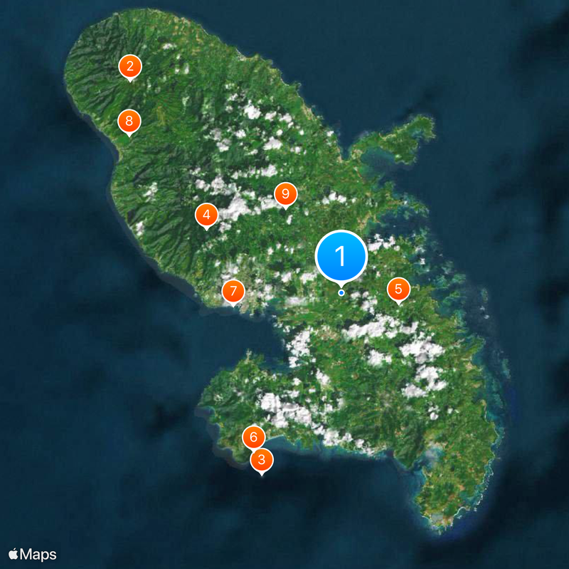
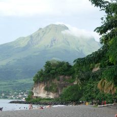
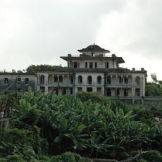
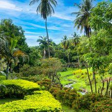
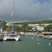
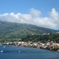
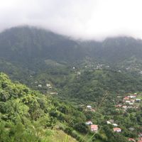
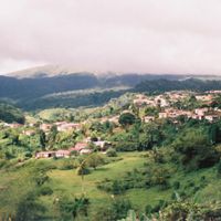
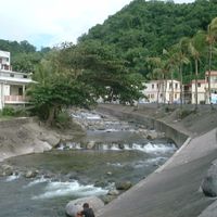
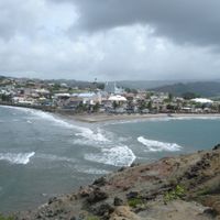
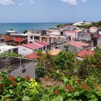
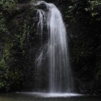
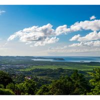
This Lesser Antilles island spans roughly 1100 square kilometers, with Montagne Pelée volcano rising about 1400 meters in the northern part. Coastline runs for around 350 kilometers, linking tropical forests with sandy shores while the interior holds mountain slopes and plantation land.
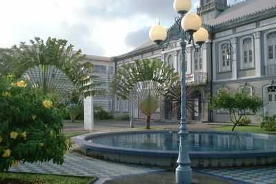
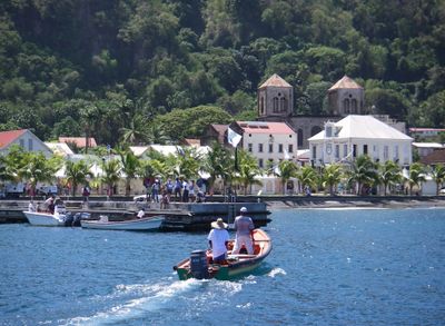
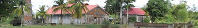
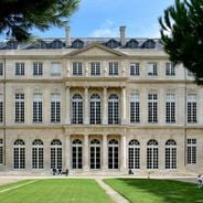
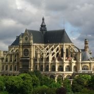
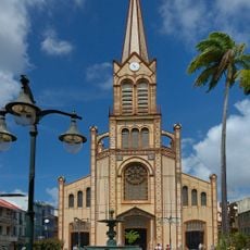
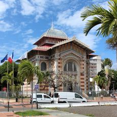
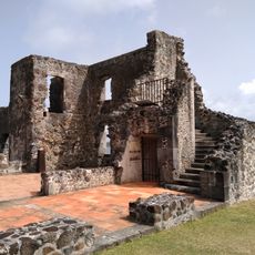
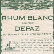
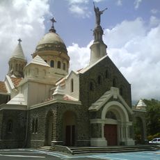
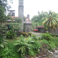
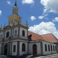
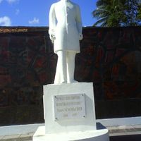
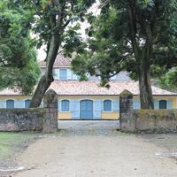
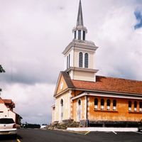
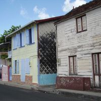
France took permanent control in the 17th century, bringing sugarcane plantations that shaped the landscape and population. The 1902 eruption leveled Saint-Pierre, killing around 30,000 people and erasing what was then the island's main settlement.
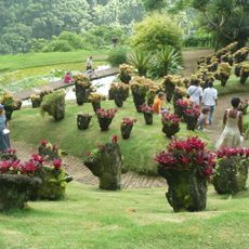
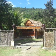
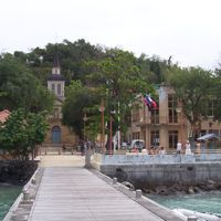
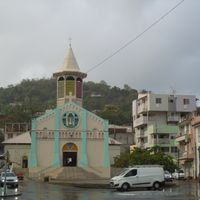
Locals switch between French and Creole in markets and neighborhoods, while biguine and zouk rhythms fill open-air gatherings and festivals. Carnival brings entire communities into the streets with parades, traditional dance, and elaborate costumes that echo the island's mixed heritage.
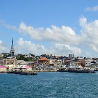
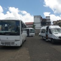
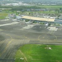
Travelers land at Aimé Césaire airport near Fort-de-France, with direct connections from Paris, Miami, and other Caribbean points. Roads link coastal towns and climb inland through mountain terrain, where some routes turn steep and winding.
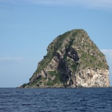
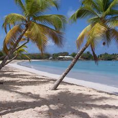
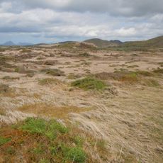
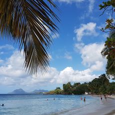
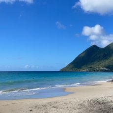
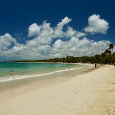
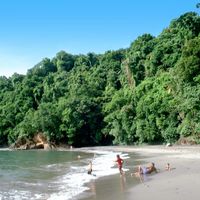
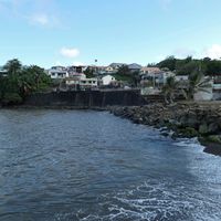
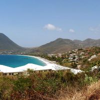
The northern shore shows black sand formed from volcanic rock, while the south offers white beaches made from coral fragments. This split comes from the different geological origins of each coastal section.
The community of curious travelers
AroundUs brings together thousands of curated places, local tips, and hidden gems, enriched daily by 60,000 contributors worldwide.