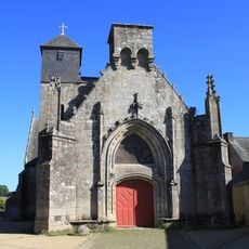
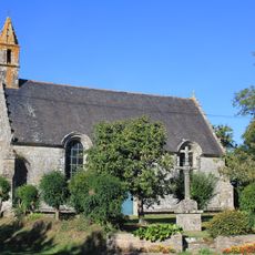
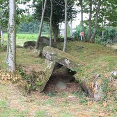
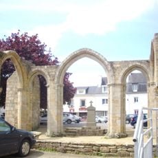
Pluvigner, Commune in Morbihan department, Brittany, France.
Pluvigner covers approximately 183 square kilometers in the Morbihan department with elevations ranging from 17 to 146 meters above sea level and coordinates at 47°46′00″N latitude and 3°01′00″W longitude.
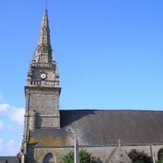
The town derives its name from Saint Guigner, a 5th-century Irish missionary who evangelized the region before being martyred in 455 AD by King Hengist of the Angles.
Pluvigner actively promotes Breton language through the Ya d'ar brezhoneg initiative started in 2006, with nearly 9.66% of primary school children participating in bilingual education programs by 2008.
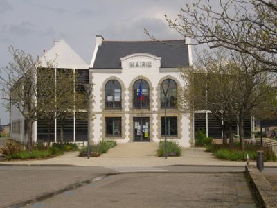
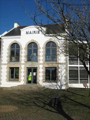
Residents can access municipal services through the official website www.pluvigner.fr and benefit from facilities including a sports complex with football pitches, tennis courts, and a gymnasium.
The commune maintains international relations through its twinning partnership with Cahirciveen in County Kerry, Ireland, established in 1984 to foster cultural exchanges between the two communities.
Location: Morbihan
Location: Auray Quiberon Terre Atlantique
Location: arrondissement of Lorient
Elevation above the sea: 72 m
Website: http://www.pluvigner.fr
Shares border with: Camors, La Chapelle-Neuve, Brandivy, Plumergat, Brech, Landaul, Landévant, Languidic, Baud
Address: 56330 Pluvigner, France 56330 Pluvigner
Phone: +33297247134
Email: mairie@pluvigner.fr
Website: http://pluvigner.fr
GPS coordinates: 47.77583,-3.01028
Latest update: September 22, 2025 10:44
Abbaye Notre-Dame de Lanvaux
6.4 km
Manoir de Kergal
5.7 km
Menhirs de l'Étoile
6.3 km
Alignement de Kornevec
7.1 km
Église Saint-Guigner de Pluvigner
119 m
Chapelle Notre-Dame
6.2 km
Chapelle Saint-Fiacre
4.9 km
Église Saint-Théleau
5.8 km
Chapelle Notre-Dame-de-Tréavrec
5.3 km
Allée couverte de Lann-et-Vein
7 km
Chapelle Notre-Dame-des-Orties de Pluvigner
142 m
Chapelle de la Vraie-Croix
5.6 km
Land aux Lutins
7 km
Men Bras
6.4 km
Croix de cimetière de Brech
6.1 km
Château de Lannouan
7.4 km
Église Saint-André
6.2 km
Chapelle Notre-Dame-de-Lourdes de Brandivy
4.7 km
Calvaire de la Chapelle Notre-Dame-de-Tréavrec
5.3 km
Église Saint-Aubin de Brandivy
4.8 km
Dolmen de la Grotte des Korrigans
6.3 km
Aire de camping-car de Pont Douar
6.3 km
Chapelle Saint-Goal de Locoal-Camors
5.4 km
Chapelle Saint-Adrien de Pluvigner
166 m
Calvaire de la Chapelle Saint-Fiacre
4.9 km
Menhir de Lambel
6.7 km
Chapelle Saint-Colomban de Pluvigner
4.8 km
Monument aux morts
6.2 kmReviews
Visited this place? Tap the stars to rate it and share your experience / photos with the community! Try now! You can cancel it anytime.
Discover hidden gems everywhere you go!
From secret cafés to breathtaking viewpoints, skip the crowded tourist spots and find places that match your style. Our app makes it easy with voice search, smart filtering, route optimization, and insider tips from travelers worldwide. Download now for the complete mobile experience.
A unique approach to discovering new places❞
— Le Figaro
All the places worth exploring❞
— France Info
A tailor-made excursion in just a few clicks❞
— 20 Minutes