Thuir

Log in to your account

AroundUs is a community-driven map of interesting places, built by curious explorers like you. It grows with every review, story, and photo you share.
Connect to save your favorite spots, contribute locations, and create personalized routes.
Continue with Google
Continue with Apple
Continue with X
Continue with Facebook
Continue with email
By continuing, you accept our Terms and Conditions and our Privacy Policy
Create an account
Add to collection
Map
Suggest a change
Share

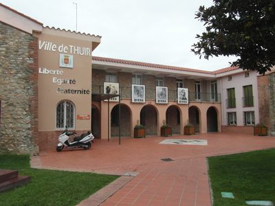
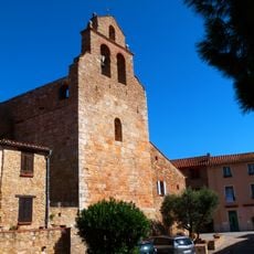
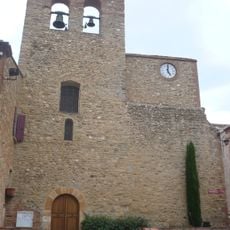
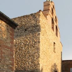
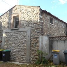
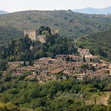
Thuir, Administrative commune in Pyrénées-Orientales, France

Thuir is a commune in Pyrénées-Orientales in southern France's Occitanie region, situated between flat and hilly terrain. The settlement spans elevations from roughly 78 to 243 meters above sea level.

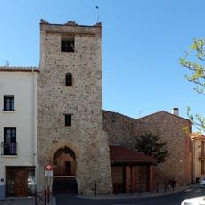
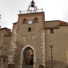
The location developed over several centuries from a small settlement into a structured municipality and later became part of the Pyrénées-Orientales department. This evolution shaped how local governance took form in this part of southern France.

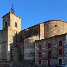
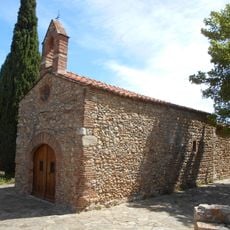
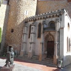
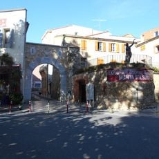
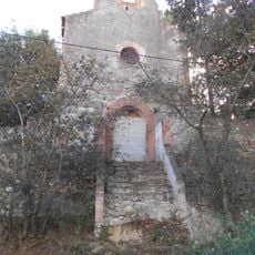
The community maintains strong ties to Catalan customs, visible in the regular markets and local festivals that happen throughout the year.

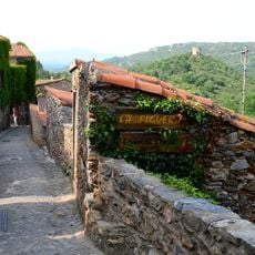
Visitors can easily reach several destinations from here, as Perpignan is about 13 kilometers to the east and the medieval village of Castelnou sits roughly 5 kilometers to the southwest. The closeness to these places makes it a good base for day trips around the region.

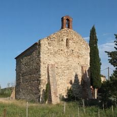
The territory sits between two different natural zones: the hilly Aspres region and the flat Riberal plain next to the Tech River. This geographic position makes the place a transition zone between two distinct landscape types.

Location: Rosselló

Location: Pyrénées-Orientales

Location: 莱萨斯普尔市镇公共社区

Location: arrondissement of Céret

Elevation above the sea: 93 m

Shares border with: Saint-Féliu-d'Avall, Le Soler, Toulouges, Canohès, Ponteilla, Llupia, Sainte-Colombe-de-la-Commanderie, Castelnou

Phone: +33468846767

Email: mairie@thuir.fr

Website: http://thuir.fr

GPS coordinates: 42.63194,2.75639

Latest update: December 7, 2025 10:06

Photos
Reviews

Visited this place? Tap the stars to rate it and share your experience / photos with the community! Try now! You can cancel it anytime.

« Thuir - Administrative commune in Pyrénées-Orientales, France » is provided by Around Us (aroundus.com). Images and texts are derived from Wikimedia project under a Creative Commons license. You are allowed to copy, distribute, and modify copies of this page, under the conditions set by the license, as long as this note is clearly visible.

Discover hidden gems everywhere you go!

From secret cafés to breathtaking viewpoints, skip the crowded tourist spots and find places that match your style. Our app makes it easy with voice search, smart filtering, route optimization, and insider tips from travelers worldwide. Download now for the complete mobile experience.

Around Us App Screenshot

A unique approach to discovering new places

Le Figaro

All the places worth exploring

France Info

A tailor-made excursion in just a few clicks

20 Minutes