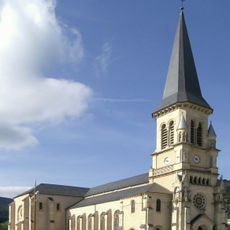
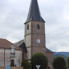
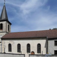
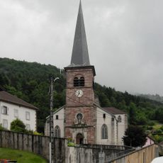
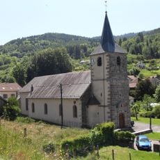
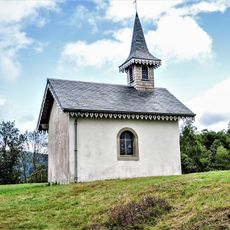
Saulxures-sur-Moselotte, Mountain commune in Vosges, France
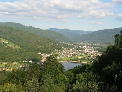
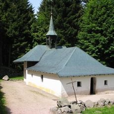
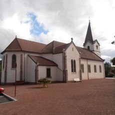
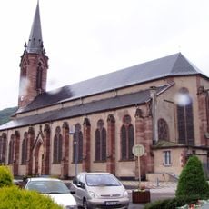
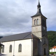
Saulxures-sur-Moselotte is a small commune nestled in the Vosges mountains of northeastern France, surrounded by forests and green valleys. The village sits at an elevation where the landscape shapes daily life, with nature playing a central role in the character of the place.
The commune received its current name in 1867, with the addition referring to the nearby river that flows through the region. This naming change reflected a significant administrative adjustment for the settlement.
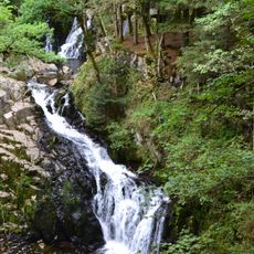
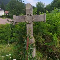
The village maintains a practical connection to its natural surroundings, with forests and water shaping how daily life unfolds and how residents interact with their environment. This relationship to nature influences local traditions and how people use public spaces throughout the year.
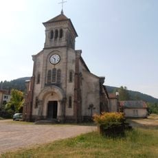
The village has a town hall where residents handle administrative matters, with services available during weekday hours. Visitors can find friendly staff there who can provide information about the local area.
The valley historically served as an important passage for local artisans and merchants moving goods between regions, shaping how the settlement developed. Though this trade route is less prominent today, it remains woven into the fabric of the village's character.
Location: Vosges
Elevation above the sea: 685 m
Shares border with: Basse-sur-le-Rupt, Ferdrupt, Ramonchamp, Le Ménil, Cornimont, Thiéfosse, Rupt-sur-Moselle
Address: 88290 Saulxures-sur-Moselotte, France
Phone: +33329246118
Email: info@saulxures-sur-moselotte.fr
Website: http://saulxures-sur-moselotte.fr
GPS coordinates: 47.94944,6.76917
Latest update: December 10, 2025 15:59
Château de Saulxures
239 m
Saut du Bouchot
6.9 km
Copper mine at Le Thillot
8.3 km
Ermitage du frère Joseph
7.5 km
Église du Sacré-Cœur de Travexin
4.9 km
Réserve naturelle régionale de la tourbière des Charmes
4.8 km
Musée des Mille et Une Racines
6.9 km
Arboretum de Fresse-sur-Moselle
8.2 km
Église Saint-Prix de Saulxures-sur-Moselotte
295 m
Église Saint-Lambert de Vagney
7.6 km
Chapelle Saint-Del de Gerbamont
6.2 km
Cornimont Informations
5.3 km
Statue Notre-Dame de la Paix La Grand-Roche
5.8 km
Église Saint-Vincent-de-Paul de Ferdrupt
6.5 km
Église Saint-Antoine de Thiéfosse
3.8 km
Complicités Animales
8.1 km
Église Saints-Remy-et-Blaise de Ramonchamp
6.9 km
Église Saint-Jean-Baptiste du Thillot
7.8 km
Église Saint-Blaise du Ménil
4.8 km
Église Saint-Barthélemy de Cornimont
5.3 km
Croix de chemin de Travexin
4.8 km
Église Saint-Claude de Ventron
7.7 km
Église Saint-Nicolas de Planois
4.4 km
Église Saint-Étienne de Rupt-sur-Moselle
8.3 km
Église Saint-Blaise de Rochesson
8.2 km
Chapelle des Vés
6.8 km
Chapelle Notre-Dame-de-Pitié du Ménil
4.7 km
Chapelle Sainte-Cécile de Zainvillers
6.5 kmVisited this place? Tap the stars to rate it and share your experience / photos with the community! Try now! You can cancel it anytime.
Discover hidden gems everywhere you go!
From secret cafés to breathtaking viewpoints, skip the crowded tourist spots and find places that match your style. Our app makes it easy with voice search, smart filtering, route optimization, and insider tips from travelers worldwide. Download now for the complete mobile experience.
A unique approach to discovering new places❞
— Le Figaro
All the places worth exploring❞
— France Info
A tailor-made excursion in just a few clicks❞
— 20 Minutes