Guéret

Log in to your account

AroundUs is a community-driven map of interesting places, built by curious explorers like you. It grows with every review, story, and photo you share.
Connect to save your favorite spots, contribute locations, and create personalized routes.
By continuing, you accept our Terms and Conditions and our Privacy Policy
Add to collection
Map
Suggest a change
Share

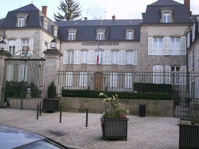
Guéret, Prefecture and commune in Nouvelle-Aquitaine, France.

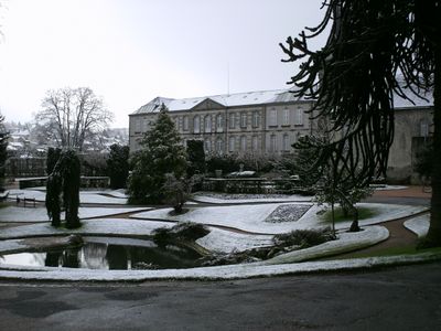
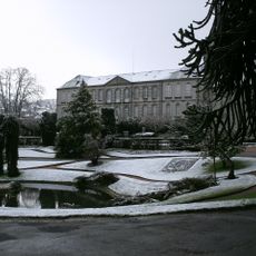
Guéret is the prefecture of the Creuse department in the heart of Nouvelle-Aquitaine, sitting at an elevation of 436 meters between wooded hills. The town lies at a crossroads of important routes, roughly 73 kilometers northeast of Limoges, and connects smaller communities across the region.

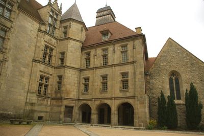
The settlement began in the 7th century around an abbey and grew over time into a local administrative center. During the Middle Ages, the place became the capital of the County of La Marche and held this role for centuries.

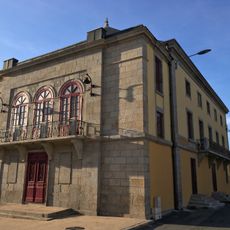
The name Guéret refers to both the town itself and its surrounding canton, rooted in the local landscape of Creuse. In the streets of the center, a few townhouses from the 18th century stand out and shape the character of the area.

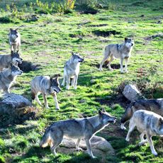
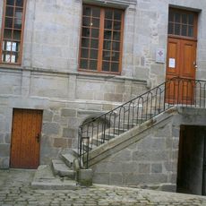
Visitors exploring the center on foot should expect some slopes, as the town is built on several levels. The surrounding area offers marked paths and forest trails suitable for walks or cycling.

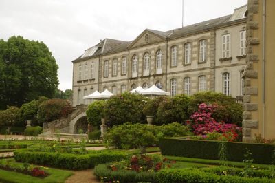
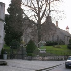
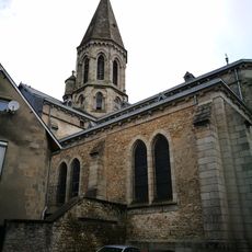
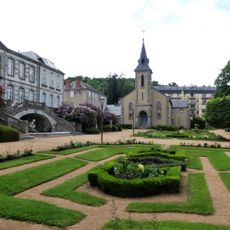
The Musée de la Sénatorerie holds a collection of medieval enamels from Limoges that ranks among the most important in France. The 13th-century Church of Saint-Pierre-Saint-Paul stands slightly elevated and serves as a landmark within the town.

Location: Creuse

Location: canton of Guéret-Nord

Location: canton of Guéret-Sud-Est

Location: canton of Guéret-Sud-Ouest

Location: arrondissement of Guéret

Elevation above the sea: 488 m

Shares border with: La Chapelle-Taillefert, Savennes, Saint-Christophe, Sainte-Feyre, Saint-Fiel, Saint-Léger-le-Guérétois, Saint-Sulpice-le-Guérétois

Phone: +33555514700

Email: mairie@ville-gueret.fr

Website: https://ville-gueret.fr

GPS coordinates: 46.17056,1.86833

Latest update: December 13, 2025 15:51

Photos
Reviews

Visited this place? Tap the stars to rate it and share your experience / photos with the community! Try now! You can cancel it anytime.

« Guéret - Prefecture and commune in Nouvelle-Aquitaine, France » is provided by Around Us (aroundus.com). Images and texts are derived from Wikimedia project under a Creative Commons license. You are allowed to copy, distribute, and modify copies of this page, under the conditions set by the license, as long as this note is clearly visible.

Discover hidden gems everywhere you go!

From secret cafés to breathtaking viewpoints, skip the crowded tourist spots and find places that match your style. Our app makes it easy with voice search, smart filtering, route optimization, and insider tips from travelers worldwide. Download now for the complete mobile experience.

Around Us App Screenshot

A unique approach to discovering new places

Le Figaro

All the places worth exploring

France Info

A tailor-made excursion in just a few clicks

20 Minutes