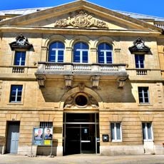
Pontarlier, Administrative center in Doubs, France
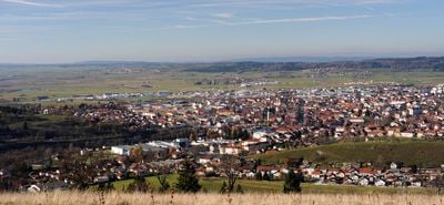
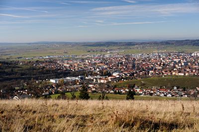
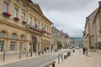
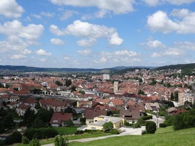
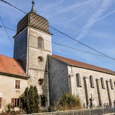
Pontarlier is a commune in the Doubs département of the Bourgogne-Franche-Comté region, located roughly midway between Besançon and the Swiss border. The town stretches along the Doubs River through a wide valley and serves as the administrative seat for the surrounding arrondissement, which includes several smaller villages and hamlets.
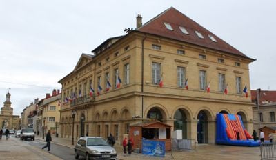
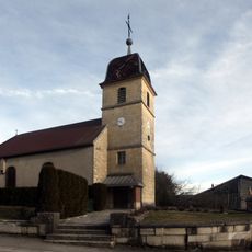
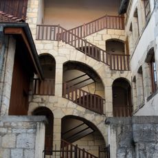
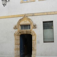
The town grew along an important trade route connecting inland France with Switzerland, and the flow of goods brought steady growth over the centuries. A devastating fire in 1736 destroyed much of the built area, prompting a redesign with wider streets during reconstruction.
The municipal museum presents exhibits about regional history and industrial heritage, with particular attention to the traditional production methods of absinthe.
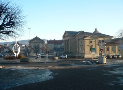
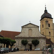
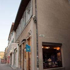
The town center is easy to explore on foot, with most shops and public facilities located close together. Market days on Thursday bring extra activity to the central streets, making it a good time to visit if you want to see daily life in action.
Several small distilleries in town keep the production of absinthe alive, a spirit that was made here as early as the 18th century and later banned in many countries. Visitors can learn about the distillation process and the herbs used at some of these operations.
Location: Doubs
Location: arrondissement of Pontarlier
Elevation above the sea: 975 m
Shares border with: La Cluse-et-Mijoux, Les Alliés, Arçon, Dommartin, Doubs, Granges-Narboz, Houtaud, Maisons-du-Bois-Lièvremont, Verrières-de-Joux
Address: 25300 Pontarlier, France
Phone: +33381388138
Email: mairie.pontarlier@ville-pontarlier.com
Website: http://ville-pontarlier.fr
GPS coordinates: 46.90611,6.35472
Latest update: December 12, 2025 18:02
The Tour de France 2025 takes place from July 5 to 27 and marks the 112th edition of this major bike race. It is one of the three biggest road cycling events of the year. This collection shows the towns where the Tour caravan will stop, from northern cities like Lille and Dunkirk to the Norman lands...
Fort du Larmont inférieur
3.8 km
Église Saint-Bénigne
452 m
Fort Catinat du Larmont supérieur
3.3 km
Porte Saint-Pierre
240 m
Chapelle de l'Espérance
1.1 km
Le Ball Park
1.1 km
Église Sainte-Foy des Alliés
8.5 kmMusée de Pontarlier
208 mWar memorial of Pontarlier
174 m
Église de Doubs
2.4 km
Golf des Étraches
5.1 km
Théâtre Bernard Blier
124 m
Fouga-Magister
2.1 km
Église Saint-Claude de Vuillecin
4.4 kmOrgue de tribune de l'église Saint-Bénigne de Pontarlier
486 m
Chapelle des Étraches
6.2 km
Hôpital Saint-Étienne
624 m
Escalier extérieur, 2 rue Montrieux, Pontarlier
511 m
Église de l'Assomption d'Arçon
4.9 km
Portail devant l'église Saint-Bénigne
437 m
Immeuble, 87 rue de la République, Pontarlier
240 m
Immeuble, 79 rue de la République, Pontarlier
225 m
Immeuble, 21 rue Gambetta, Pontarlier
360 m
Chapelle Saint-Étienne de Pontarlier
624 m
Chapelle du Petit Saint-Claude
2.5 km
Chapelle Saint-Lazare de Vuillecin
5.8 km
Chapelle Saint-Georges de Vuillecin
4.2 kmScenic viewpoint
5.8 kmVisited this place? Tap the stars to rate it and share your experience / photos with the community! Try now! You can cancel it anytime.
Discover hidden gems everywhere you go!
From secret cafés to breathtaking viewpoints, skip the crowded tourist spots and find places that match your style. Our app makes it easy with voice search, smart filtering, route optimization, and insider tips from travelers worldwide. Download now for the complete mobile experience.
A unique approach to discovering new places❞
— Le Figaro
All the places worth exploring❞
— France Info
A tailor-made excursion in just a few clicks❞
— 20 Minutes