Enable Location

We need your location to show you interesting places around you

Discover nearby places

Find interesting locations and hidden gems around you

Precise directions

Get accurate directions and distances to places

Your location is never shared with other users. It's only used when you tap the location button.

Île-d'Aix

Log in to your account

Start exploring — it's free

Trusted by 61,363 travelers worldwide

Continue with Google
Continue with Apple
or

We will send you a code to connect

By continuing, you accept our Terms and Conditions and our Privacy Policy

Check your inbox

We've sent a pincode in your inbox. Please enter the code below.

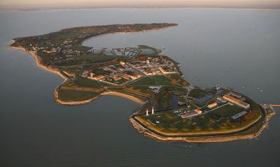
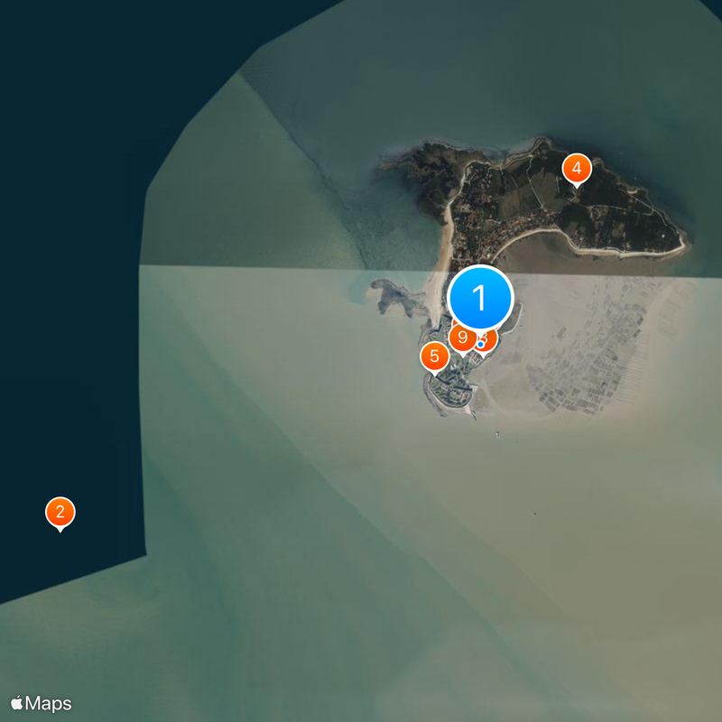
Île-d'Aix, Fortified island commune in Charente-Maritime, France

Description

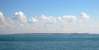
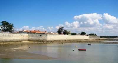
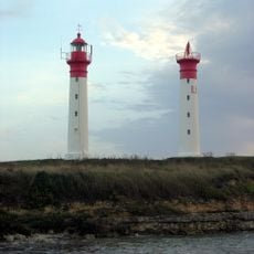
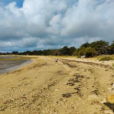
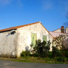
This commune sits on a small island between Oléron and the mainland near the mouth of the Charente, measuring roughly 3 kilometers (1.9 miles) from north to south and under a kilometer (0.6 miles) across. Most buildings cluster around the harbor while fortifications ring parts of the shore and paths cross meadows and low vegetation.

History

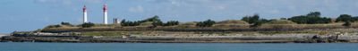
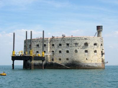
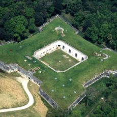
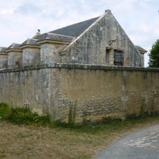
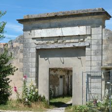
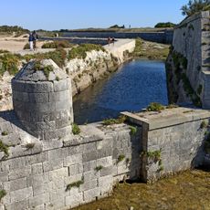
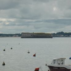
Fortifications rose during the 17th century under Vauban, who used the strategic location along the Atlantic coast. Napoleon spent his final days on French soil here in July 1815 before surrendering to British ships and being taken to Saint Helena.

Culture

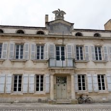
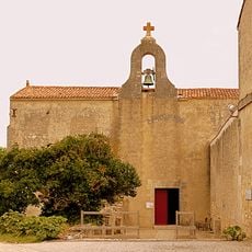
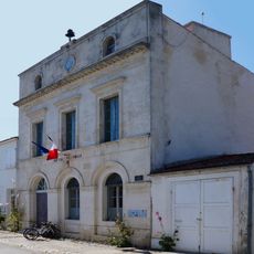
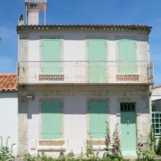
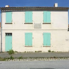
The houses follow Atlantic style with white plaster walls and pastel shutters that brighten narrow streets around the village center. Oyster farmers still tend shallow beds that reveal themselves at low tide, keeping alive a trade that has shaped daily routines for generations.

Practical

Access is only by boat from the mainland, with ferries running several times a day throughout the year. Motor vehicles are not allowed, so all distances are covered on foot or by bicycle.

Did you know?

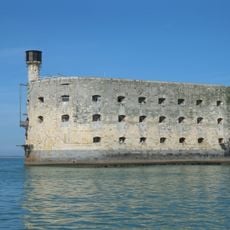
Fort Liédot on the southern tip served as a prison until 1960 and held Algerian politician Ahmed Ben Bella in the late 1950s. The cells are now open to visitors and show the spare furnishings of that period.

Elevation above the sea
6 m
Part of
Aix Island
Shares border with
Fouras
Phone
GPS coordinates
46.01194,-1.17361
Latest update
December 13, 2025 18:44

AroundUs brings together thousands of curated places, local tips, and hidden gems, enriched daily by 60,000 contributors worldwide. Discover all places nearby (canton of Rochefort-Nord).

« Île-d'Aix - Fortified island commune in Charente-Maritime, France » is provided by Around Us (aroundus.com). Images and texts are derived from Wikimedia project under a Creative Commons license. You are allowed to copy, distribute, and modify copies of this page, under the conditions set by the license, as long as this note is clearly visible.

Discover hidden gems everywhere you go!

From secret cafés to breathtaking viewpoints, skip the crowded tourist spots and find places that match your style. Our app makes it easy with voice search, smart filtering, route optimization, and insider tips from travelers worldwide. Download now for the complete mobile experience.

Around Us App Screenshot

A unique approach to discovering new places

Le Figaro

All the places worth exploring

France Info

A tailor-made excursion in just a few clicks

20 Minutes

Around Us
Travel Guide & Maps
Download

Send to your phone

QR Code
1

Open the camera app on your mobile.

2

Point at the QR code with your camera. A notification will appear.

3

Tap the notification to open the link.