Arrondissement of Rochefort, Administrative district in Charente-Maritime, France
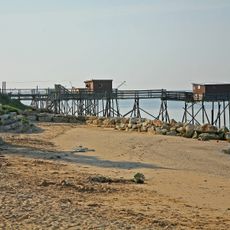
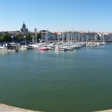
The Arrondissement of Rochefort is an administrative district on France's western coast that brings together numerous coastal and inland communities. The territory mixes urban centers, rural villages, and island sections connected by a network of roads and waterways.
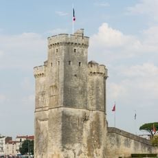
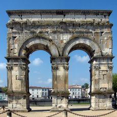
This administrative district was created in 1790 during the French Revolution as part of a major reorganization of France's territorial boundaries. The region has since shifted and grown, particularly by incorporating coastal and island territories.
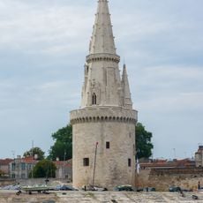
The name reflects Rochefort's importance as the administrative center, and the entire territory carries the mark of maritime history in its towns and villages. Visitors can sense this connection today by observing how water access shapes the layout and character of local communities.
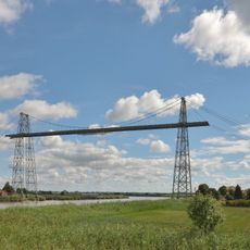
The district is spread across a wide area and includes several separate locations connected by roads and bridges, so getting around requires some planning. Those exploring different parts should expect travel between coastal sections and island territories to take time.
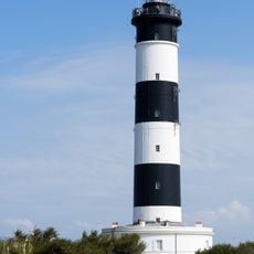
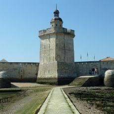
The district extends across one of France's largest Atlantic islands, with two of its cantons located on the Île d'Oléron. These island portions give the region a distinctive character that sets it apart from purely mainland administrative areas.
Location: Charente-Maritime
Capital city: Rochefort
GPS coordinates: 45.93333,-0.96667
Latest update: December 7, 2025 10:07
Fort Boyard
20.5 km
Lighthouse at the End of the World
28.1 km
Île de Ré bridge
33.9 km
Cordouan Lighthouse
41.8 km
La Rochelle submarine base
31.3 km
Oléron Bridge
18.8 km
La Palmyre Zoo
31.5 km
La Palmyre
27.7 km
Île Madame
11.7 km
Église Notre-Dame de Royan
34.9 km
Chassiron lighthouse
36.6 km
Aquarium de La Rochelle
28.3 km
Corderie Royale
1.1 km
Rochefort-Martrou Transporter Bridge
2 km
Lighthouse of La Coubre
33.5 km
Tour Saint-Nicolas
28.7 km
Gare de La Rochelle
28.1 km
Vieux-Port de La Rochelle
28.7 km
Arch of Germanicus
33.5 km
Tour de la Lanterne
28.8 km
Sainte-Marie-des-Dames
33.9 km
Roman amphitheatre of Saintes
32.6 km
Hôtel de Ville de La Rochelle
28.9 km
House of Pierre Loti
333 m
Château de la Roche Courbon
18 km
La Rochelle Cathedral
29.2 km
Fort Louvois
18.2 km
Basilique Saint-Eutrope de Saintes
32.9 kmVisited this place? Tap the stars to rate it and share your experience / photos with the community! Try now! You can cancel it anytime.
canton of Aigrefeuille-d'Aunis
canton of Le Château-d'Oléron
canton of Marennes
canton of Rochefort-Nord
canton of Rochefort-Sud
canton of Royan-Est
canton of Saint-Agnant
canton of Saint-Pierre-d'Oléron
canton of Surgères
canton of Tonnay-Charente
La Tremblade
canton of Royan-Ouest
canton of Rochefort-Centre
Royan
Discover hidden gems everywhere you go!
From secret cafés to breathtaking viewpoints, skip the crowded tourist spots and find places that match your style. Our app makes it easy with voice search, smart filtering, route optimization, and insider tips from travelers worldwide. Download now for the complete mobile experience.
A unique approach to discovering new places❞
— Le Figaro
All the places worth exploring❞
— France Info
A tailor-made excursion in just a few clicks❞
— 20 Minutes