Enable Location

We need your location to show you interesting places around you

Discover nearby places

Find interesting locations and hidden gems around you

Precise directions

Get accurate directions and distances to places

Your location is never shared with other users. It's only used when you tap the location button.

Fort Louvois

Log in to your account

Start exploring — it's free

Trusted by 61,929 travelers worldwide

Continue with Google
Continue with Apple
or

We will send you a code to connect

By continuing, you accept our Terms and Conditions and our Privacy Policy

Check your inbox

We've sent a pincode in your inbox. Please enter the code below.

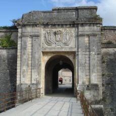
Fort Louvois, Sea fort in Bourcefranc-le-Chapus, France.

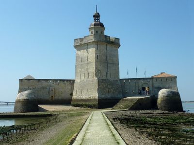
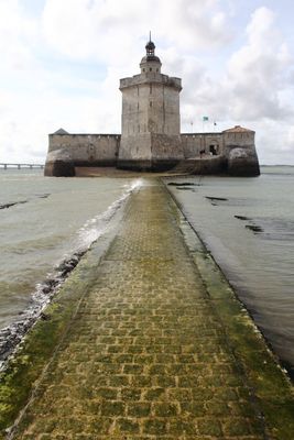
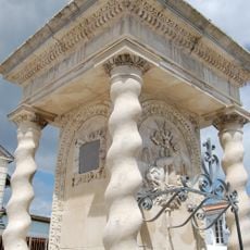
Fort Louvois is a horseshoe-shaped coastal fortress standing about 400 meters from the mainland, featuring a central tower and two pier structures. The structure was designed with barracks and defensive installations to protect the coastline from attack.

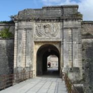
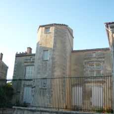
Construction began in 1691 under architect François Ferry and was later redesigned by military engineer Vauban. These modifications made the fortification more effective at defending the coast.

The fort now houses exhibits about oyster farming traditions and the role of coastal fortifications in local maritime life. These displays show how the site shaped daily activities and livelihoods in the region.

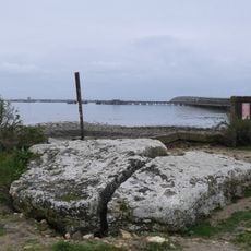
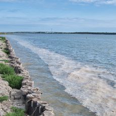
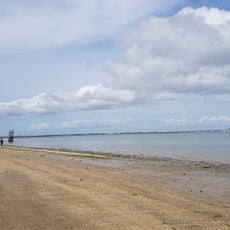
Access depends on tidal conditions: visitors can walk across a stone pathway during low tide or take a boat shuttle at high tide. Plan your visit around the tide schedule and check conditions before arriving.

The fort was positioned to work together with Château d'Oléron, creating a coordinated defense that controlled the Pertuis de Maumusson waterway. This paired fortification strategy was key to protecting the entire coastal region.

The community of curious travelers

AroundUs brings together thousands of curated places, local tips, and hidden gems, enriched daily by 60,000 contributors worldwide.

Start exploring
Architects
François Ferry
Part of
archipel charentais
Address
Extrémité de la Pointe du Chapus
GPS coordinates
45.85710,-1.17425
Latest update
December 6, 2025 17:40
What to see on Oléron Island: tourist sites, historical monuments, and beaches to visit

Oléron Island, the largest island in mainland France after Corsica, features a military, maritime, and natural heritage reflecting its strategic position facing the Atlantic Ocean. This Charente island, connected to the mainland since 1966 by a nearly three-kilometer-long bridge, houses...

« Fort Louvois - Sea fort in Bourcefranc-le-Chapus, France » is provided by Around Us (aroundus.com). Images and texts are derived from Wikimedia project under a Creative Commons license. You are allowed to copy, distribute, and modify copies of this page, under the conditions set by the license, as long as this note is clearly visible.

Discover hidden gems everywhere you go!

From secret cafés to breathtaking viewpoints, skip the crowded tourist spots and find places that match your style. Our app makes it easy with voice search, smart filtering, route optimization, and insider tips from travelers worldwide. Download now for the complete mobile experience.

Around Us App Screenshot

A unique approach to discovering new places

Le Figaro

All the places worth exploring

France Info

A tailor-made excursion in just a few clicks

20 Minutes

Around Us
Travel Guide & Maps
Download

Send to your phone

QR Code
1

Open the camera app on your mobile.

2

Point at the QR code with your camera. A notification will appear.

3

Tap the notification to open the link.