Enable Location

We need your location to show you interesting places around you

Discover nearby places

Find interesting locations and hidden gems around you

Precise directions

Get accurate directions and distances to places

Your location is never shared with other users. It's only used when you tap the location button.

Bourcefranc-le-Chapus

Log in to your account

Start exploring — it's free

Trusted by 61,948 travelers worldwide

Continue with Google
Continue with Apple
or

We will send you a code to connect

By continuing, you accept our Terms and Conditions and our Privacy Policy

Check your inbox

We've sent a pincode in your inbox. Please enter the code below.

Bourcefranc-le-Chapus

Bourcefranc-le-Chapus, Coastal commune in Charente-Maritime, France.

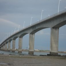
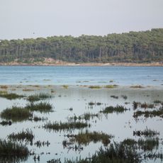
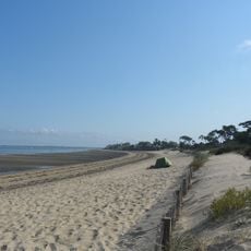
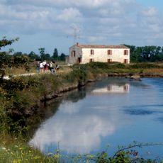
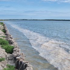
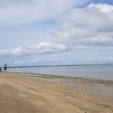
Bourcefranc-le-Chapus covers 12.4 square kilometers in the Charente-Maritime department, positioned at the mouth of the Seudre River with an average elevation of 5 meters above sea level.

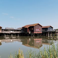
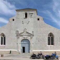
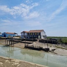
The commune was officially established on March 23, 1908, following its separation from Marennes, inheriting centuries of maritime heritage linked to oyster farming and coastal trade along the Atlantic coast.

Local traditions include monthly markets on the third Sunday, annual Eclade seafood tastings, and maritime festivals that celebrate the town's oyster farming heritage and maritime professions.

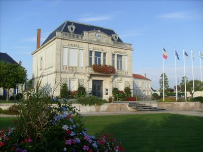
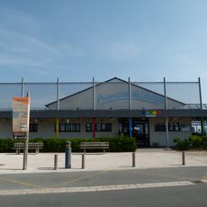
The town hall located at Place Henri Barbusse operates Monday through Saturday with contact number 05 46 85 02 02, providing urban planning services, civil registration, and waste management.

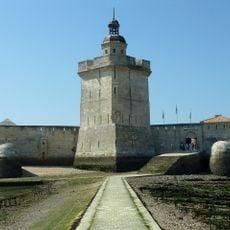
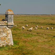
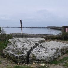
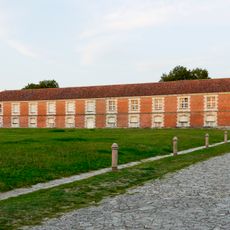
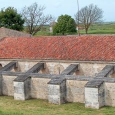
Fort Louvois, built between 1691 and 1694 following Vauban's plans, becomes accessible on foot at low tide from Chapus islet via a submersible causeway.

The community of curious travelers

AroundUs brings together thousands of curated places, local tips, and hidden gems, enriched daily by 60,000 contributors worldwide.

Start exploring
Inception
March 23, 1908
Elevation above the sea
5 m
Shares border with
Le Château-d'Oléron, Marennes-Hiers-Brouage
Address
17560 Bourcefranc-le-Chapus, France
Phone
GPS coordinates
45.84722,-1.14750
Latest update
July 24, 2025 11:50
« Bourcefranc-le-Chapus - Coastal commune in Charente-Maritime, France » is provided by Around Us (aroundus.com). Images and texts are derived from Wikimedia project under a Creative Commons license. You are allowed to copy, distribute, and modify copies of this page, under the conditions set by the license, as long as this note is clearly visible.

Discover hidden gems everywhere you go!

From secret cafés to breathtaking viewpoints, skip the crowded tourist spots and find places that match your style. Our app makes it easy with voice search, smart filtering, route optimization, and insider tips from travelers worldwide. Download now for the complete mobile experience.

Around Us App Screenshot

A unique approach to discovering new places

Le Figaro

All the places worth exploring

France Info

A tailor-made excursion in just a few clicks

20 Minutes

Around Us
Travel Guide & Maps
Download

Send to your phone

QR Code
1

Open the camera app on your mobile.

2

Point at the QR code with your camera. A notification will appear.

3

Tap the notification to open the link.