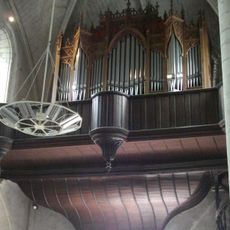
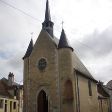
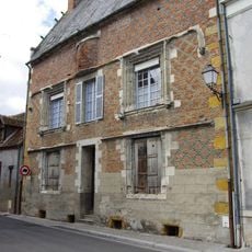
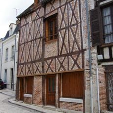
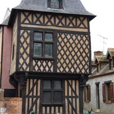
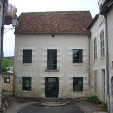
Romorantin-Lanthenay, Administrative center in Loir-et-Cher, France
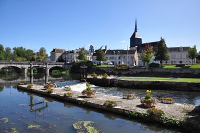
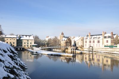
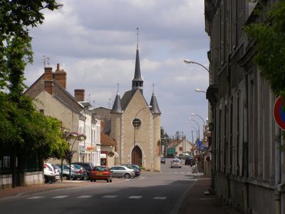
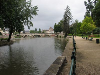
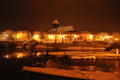
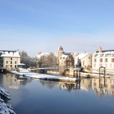
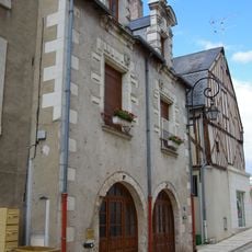
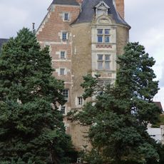
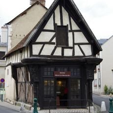
Romorantin-Lanthenay is a commune in the Loir-et-Cher department that follows the banks of the Sauldre River and bridges gentle hills between 84 and 121 meters in elevation. The settlement combines several cantons and forms the center of a larger administrative district in the Centre-Val de Loire region.
The current commune formed in 1961 through the merger of two independent settlements, Romorantin and Lanthenay, which decided to unite administration and name. This fusion brought together two neighbors that sat along the same river and gradually grew into a shared center.
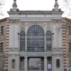
The local museum focuses on the Sologne, a region of forests and ponds whose crafts and way of life were shaped for centuries by hunting and fishing. Visitors discover tools, costumes and scenes that show how people here worked and lived generations ago.
The A85 motorway and regional rail network connect the town with other places across the region, allowing travelers to arrive from different directions. Trains run regularly and stop at a station within walking distance of the center.
Every October, a large event draws around 13,000 guests into the streets to sample specialties of the Sologne and meet local producers. These days turn the center into a meeting point for regional gastronomy that has been a tradition since the late 1970s.
Location: canton of Romorantin-Lanthenay-Nord
Location: canton of Romorantin-Lanthenay-Sud
Location: Loir-et-Cher
Location: arrondissement of Romorantin-Lanthenay
Elevation above the sea: 102 m
Shares border with: Millançay, Pruniers-en-Sologne, Veilleins, Villefranche-sur-Cher, Villeherviers
Address: 90 Fbg Saint-Roch, 41200 Romorantin-Lanthenay, France
Opening Hours: Monday-Tuesday 13:30-17:00; Wednesday 09:30-12:00; Thursday 14:00-18:00; Friday 09:30-12:00
Phone: +33254762560
Website: http://romorantin.com
GPS coordinates: 47.35833,1.74278
Latest update: December 5, 2025 16:32
Château du Moulin
10.1 km
Usine Matra de Romorantin
397 m
Espace Automobiles Matra
183 m
Museum of Sologne
130 m
Église Saint-Christophe-et-Saint-Phalier de Chabris
13.3 km
Église Sainte-Marie-Madeleine de Villefranche-sur-Cher
7.6 km
Église Saint-Pierre de Mur-de-Sologne
11.7 km
Église Saint-Martin de Marcilly-en-Gault
15.5 km
Église Notre-Dame et Saint-Étienne de Romorantin-Lanthenay
234 m
Église Saint-Euverte de Villeherviers
4.3 km
Chapelle Saint-Genouph de Selles-Saint-Denis
13.9 km
Église Saint-Loup de Saint-Loup
12.6 km
Église Saint-Martin de Veilleins
8.8 km
Église Saint-Sulpice de Langon
10.4 km
Église Saint-Aignan de Millançay
10.2 km
Église Saint-Laurian de Loreux
8.1 km
Église Saint-Denis de Selles-Saint-Denis
13.9 km
Orgue de tribune de l'église Saint-Étienne de Romorantin-Lanthenay
234 m
Château de Romorantin
61 m
Hôtel Lionel-Normant
379 m
Carroir Doré
256 m
Maison Louis XIII à Romorantin-Lanthenay
194 m
La Forge
8.9 km
Chapelle Saint-Roch de Romorantin-Lanthenay
537 m
Hôtel Saint-Pol à Romorantin-Lanthenay
212 m
Maison à pans de bois à Romorantin-Lanthenay
208 m
Hôtel de la Chancellerie, Romorantin-Lanthenay
211 m
Tour Jacquemart
80 mReviews
Visited this place? Tap the stars to rate it and share your experience / photos with the community! Try now! You can cancel it anytime.
Discover hidden gems everywhere you go!
From secret cafés to breathtaking viewpoints, skip the crowded tourist spots and find places that match your style. Our app makes it easy with voice search, smart filtering, route optimization, and insider tips from travelers worldwide. Download now for the complete mobile experience.
A unique approach to discovering new places❞
— Le Figaro
All the places worth exploring❞
— France Info
A tailor-made excursion in just a few clicks❞
— 20 Minutes