Enable Location

We need your location to show you interesting places around you

Discover nearby places

Find interesting locations and hidden gems around you

Precise directions

Get accurate directions and distances to places

Your location is never shared with other users. It's only used when you tap the location button.

Ancenis

Log in to your account

Start exploring — it's free

Trusted by 61,956 travelers worldwide

Continue with Google
Continue with Apple
or

We will send you a code to connect

By continuing, you accept our Terms and Conditions and our Privacy Policy

Check your inbox

We've sent a pincode in your inbox. Please enter the code below.

Ancenis

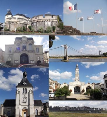
Ancenis, Medieval town in Loire-Atlantique, France

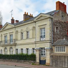
Ancenis is a former town situated along the Loire River in western France's Loire-Atlantique region. It sits on higher ground overlooking the river and combines medieval buildings with modern residential areas.

The settlement played a strategic role during the Middle Ages as a boundary point between Brittany and surrounding regions. Its importance declined as nearby Nantes became the major trading center, and it merged with Saint-Géréon in 2019.

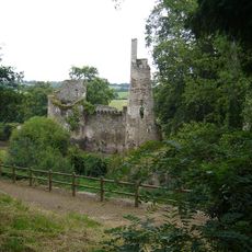
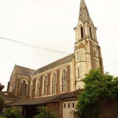
The town keeps its medieval identity through notable buildings like the Château d'Ancenis and the Church of Saint-Pierre. These structures shape how people experience the place and connect with its heritage today.

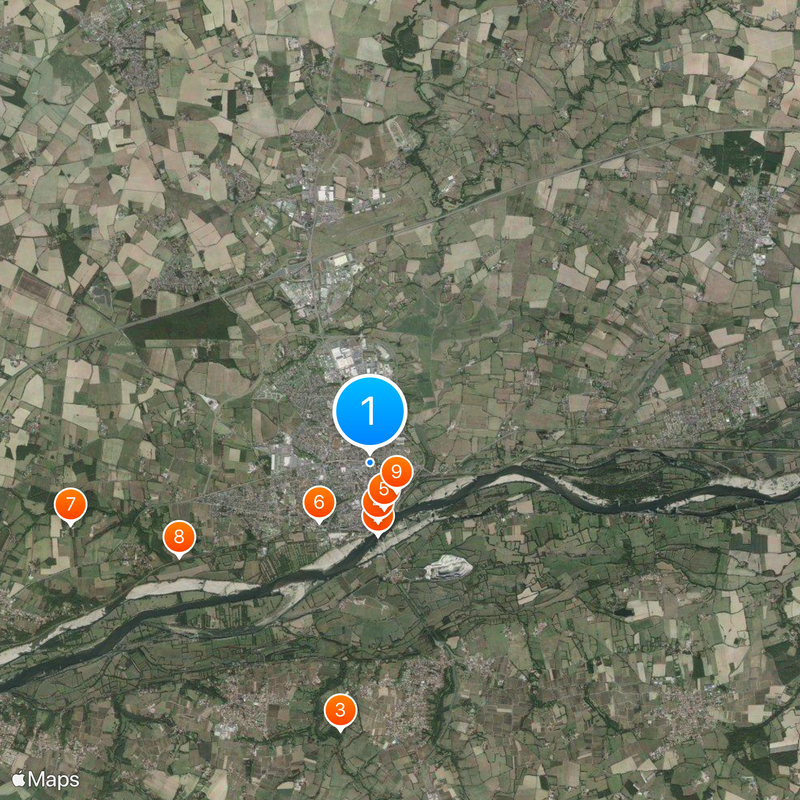
The town is easily accessible by car or train and has walkways suited for exploring the center and riverside areas. Most points of interest are located close to one another, making a walking tour manageable.

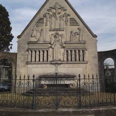
A prehistoric stone tomb called the Dolmen at Pierre-Couvretière sits within the town's boundaries and reveals ancient human settlement in the area. This old monument is often overlooked despite showing how long people have lived here.

The community of curious travelers

AroundUs brings together thousands of curated places, local tips, and hidden gems, enriched daily by 60,000 contributors worldwide.

Start exploring
Location
Elevation above the sea
18 m
Shares border with
Mésanger, Drain, Liré, Anetz, Couffé, Oudon, Saint-Géréon, Vair-sur-Loire, La Roche-Blanche
GPS coordinates
47.37278,-1.17833
Latest update
December 17, 2025 08:19
« Ancenis - Medieval town in Loire-Atlantique, France » is provided by Around Us (aroundus.com). Images and texts are derived from Wikimedia project under a Creative Commons license. You are allowed to copy, distribute, and modify copies of this page, under the conditions set by the license, as long as this note is clearly visible.

Discover hidden gems everywhere you go!

From secret cafés to breathtaking viewpoints, skip the crowded tourist spots and find places that match your style. Our app makes it easy with voice search, smart filtering, route optimization, and insider tips from travelers worldwide. Download now for the complete mobile experience.

Around Us App Screenshot

A unique approach to discovering new places

Le Figaro

All the places worth exploring

France Info

A tailor-made excursion in just a few clicks

20 Minutes

Around Us
Travel Guide & Maps
Download

Send to your phone

QR Code
1

Open the camera app on your mobile.

2

Point at the QR code with your camera. A notification will appear.

3

Tap the notification to open the link.