Enable Location

We need your location to show you interesting places around you

Discover nearby places

Find interesting locations and hidden gems around you

Precise directions

Get accurate directions and distances to places

Your location is never shared with other users. It's only used when you tap the location button.

Rambouillet

Log in to your account

Start exploring — it's free

Trusted by 62,870 travelers worldwide

Continue with Google
Continue with Apple
or

We will send you a code to connect

By continuing, you accept our Terms and Conditions and our Privacy Policy

Check your inbox

We've sent a pincode in your inbox. Please enter the code below.

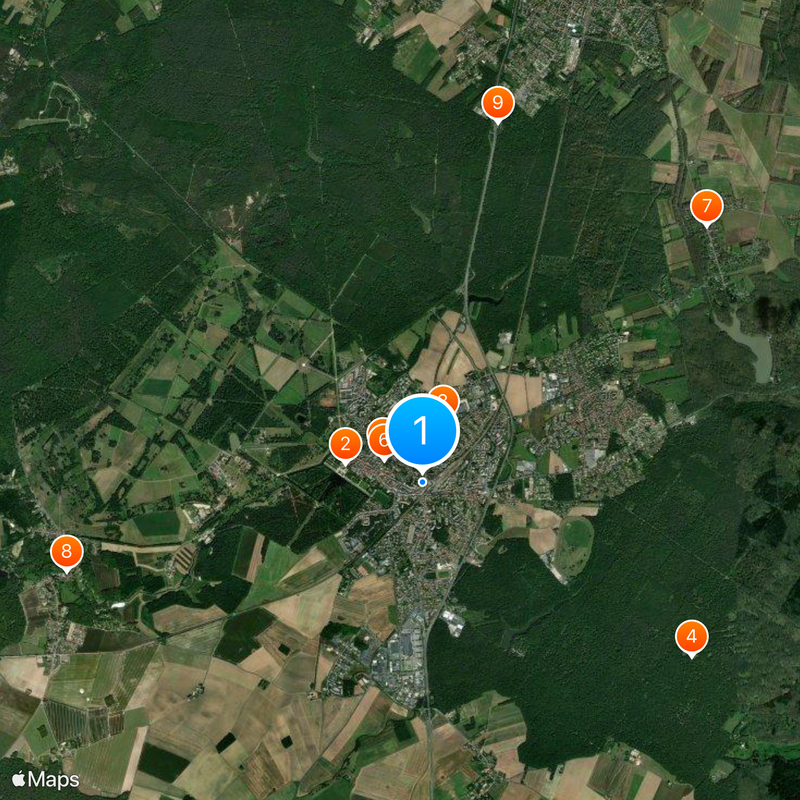
Rambouillet, Administrative center in Yvelines, France

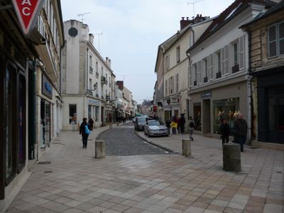
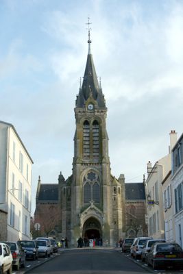
Rambouillet is an administrative center in the Yvelines southwest of Paris, rising from wooded hills and crossed by broad streets lined with stone houses. Main roads lead to the central square where municipal offices and local shops organize daily activity.

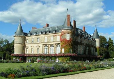
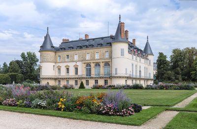
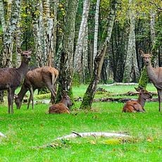
The area received urban rights in the 14th century and developed around a fortress protecting travelers heading west. Royal attention came in the 18th century when the crown purchased the estate and reserved forests for hunting.

The town's name derives from an old Germanic word meaning "little stream." Local markets still gather near the forest edge where residents buy seasonal game and mushrooms.

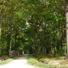
Visitors reach the town by train from Montparnasse station in Paris in under an hour. Forest trails begin at the town edge and offer orientation through marked paths suitable for walks most days of the year.

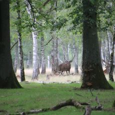
The town has more than 200 ponds in the surrounding forests, many dug in medieval times for fish farming. Some of these waters still supply freshwater to local streams and keep the forest ecosystem moist.

The community of curious travelers

AroundUs brings together thousands of curated places, local tips, and hidden gems, enriched daily by 60,000 contributors worldwide.

Start exploring
Location
Elevation above the sea
163 m
Shares border with
Les Bréviaires, Clairefontaine-en-Yvelines, Gazeran, Orcemont, Le Perray-en-Yvelines, Poigny-la-Forêt, Sonchamp, Vieille-Église-en-Yvelines
Address
78120 Rambouillet, France
Phone
GPS coordinates
48.64361,1.83000
Latest update
December 13, 2025 16:24
« Rambouillet - Administrative center in Yvelines, France » is provided by Around Us (aroundus.com). Images and texts are derived from Wikimedia project under a Creative Commons license. You are allowed to copy, distribute, and modify copies of this page, under the conditions set by the license, as long as this note is clearly visible.

Discover hidden gems everywhere you go!

From secret cafés to breathtaking viewpoints, skip the crowded tourist spots and find places that match your style. Our app makes it easy with voice search, smart filtering, route optimization, and insider tips from travelers worldwide. Download now for the complete mobile experience.

Around Us App Screenshot

A unique approach to discovering new places

Le Figaro

All the places worth exploring

France Info

A tailor-made excursion in just a few clicks

20 Minutes

Around Us
Travel Guide & Maps
Download

Send to your phone

QR Code
1

Open the camera app on your mobile.

2

Point at the QR code with your camera. A notification will appear.

3

Tap the notification to open the link.