
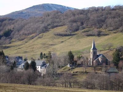
Le Claux, commune in Cantal, France
Location: Cantal
Location: arrondissement of Saint-Flour
Elevation above the sea: 1,225 m
Shares border with: Cheylade, Dienne, Le Falgoux, Lavigerie, Mandailles-Saint-Julien
Phone: +33471789311
Email: mairie.leclaux@wanadoo.fr
Website: http://leclaux-puymary.com
GPS coordinates: 45.15972,2.70528
Latest update: May 31, 2025 12:58
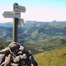
Cantal mountains
8 km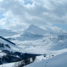
Puy Mary
6.1 km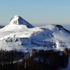
Puy Griou
8.8 km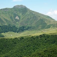
Puy de Peyre-Arse
5.5 km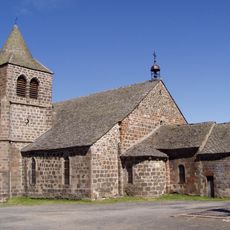
Église Saint-Léger de Cheylade
5.5 km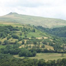
Puy Violent
9.7 km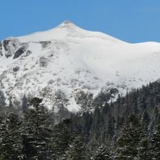
Téton de Vénus
6.8 km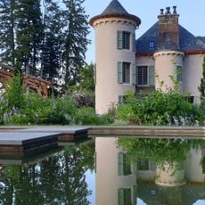
Château de la Cheyrelle
7.2 km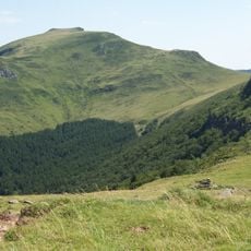
Puy Chavaroche
8.5 km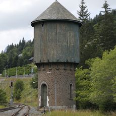
Château d'eau du Lioran
8.5 km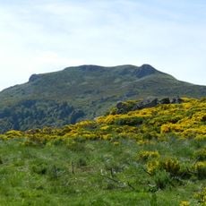
Puy de Seycheuse
6 km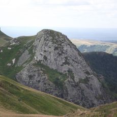
Roc d'Hozières
7 km
Cascade de Liadouze
9.5 km
Bec de l'Aigle
7.3 km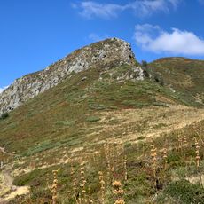
Puy Bataillouse
6.7 km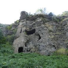
Roche Percée
9.3 km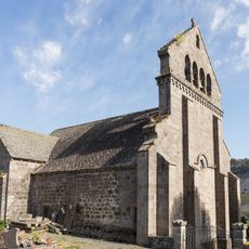
Église Saint-Cirgues de Dienne
6.3 km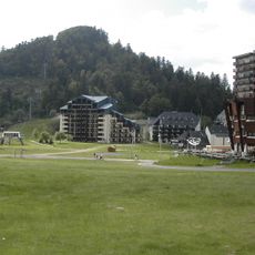
Puy de Massebœuf
9 km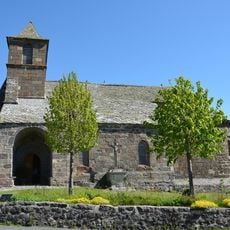
Église Saint-Hippolyte de Saint-Hippolyte
7.1 km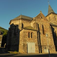
Église Saint-Germain du Falgoux
6.5 km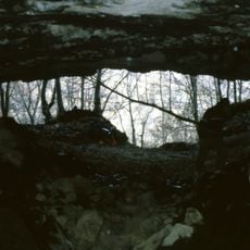
Grotte de la Bade
5.5 km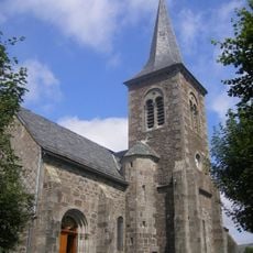
Église Saint-Jean-Baptiste du Claux
184 m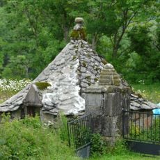
Oratoire du Sartre
2.5 km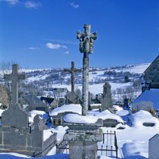
Croix de cimetière
6.3 km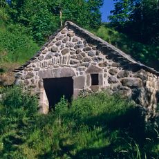
Moulin de Drils
5 km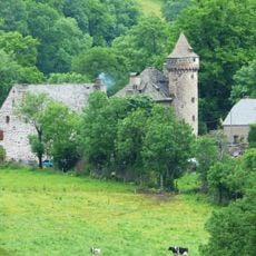
Château d'Escorolles
3.8 km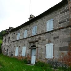
Maison Saury
4.2 km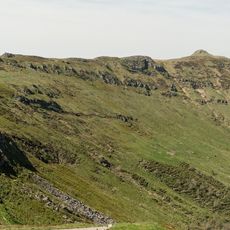
Puy de la Tourte
4.6 kmVisited this place? Tap the stars to rate it and share your experience / photos with the community! Try now! You can cancel it anytime.
Discover hidden gems everywhere you go!
From secret cafés to breathtaking viewpoints, skip the crowded tourist spots and find places that match your style. Our app makes it easy with voice search, smart filtering, route optimization, and insider tips from travelers worldwide. Download now for the complete mobile experience.

A unique approach to discovering new places❞
— Le Figaro
All the places worth exploring❞
— France Info
A tailor-made excursion in just a few clicks❞
— 20 Minutes