Villeneuve-sur-Lot, Medieval administrative center in Lot-et-Garonne, France
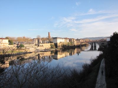
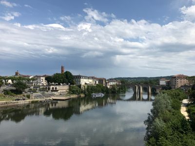
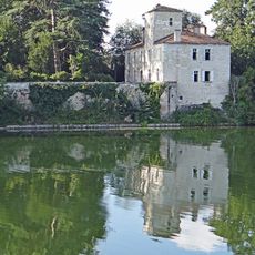
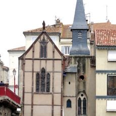
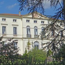
Villeneuve-sur-Lot is a commune on the banks of the Lot River in the Lot-et-Garonne département, spreading across both shores with its main section on the right bank. The town is split into two cantons and functions as an administrative center for the surrounding area, with town halls, government offices and public services.
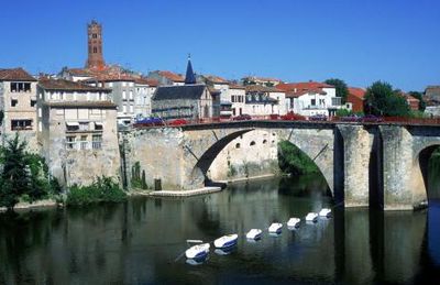
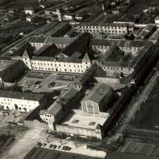
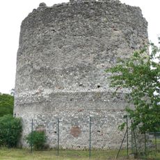
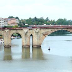
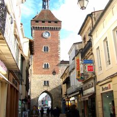
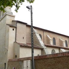
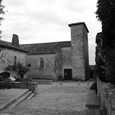
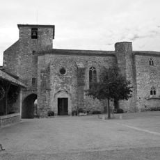
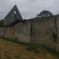
Alphonse de Poitiers founded this bastide in 1254 on the site of an earlier settlement called Gajac, which already had a bridge crossing the river at that time. The town grew as a trading center and received fortifications with gates and protective walls that supported the expansion of the new settlement.
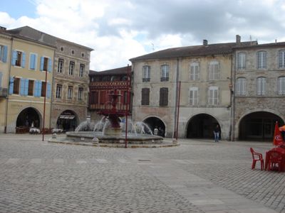
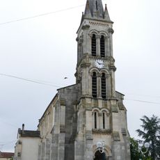
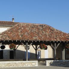
The bastide was designed as a fortified new town in the 13th century and still displays the typical grid layout with straight streets meeting at right angles around a central market square. The market halls remain at the heart of local life and serve as a gathering place where traders from the surrounding countryside bring their goods to sell.
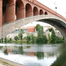
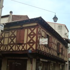
The old town is easy to explore on foot, and market days offer the best opportunity to see how the center is used by locals. The bridge links both halves of the town and provides a good view of the setting along the river, while administrative offices are distributed mainly between the northern and southern canton sections.
The Pont de la Libération was built between 1910 and 1919 and held the record as the largest single-span concrete arch bridge in the world when completed. This construction allowed traffic to cross without any supporting piers in the riverbed and demonstrated a new method of building large bridges with concrete.
The community of curious travelers
AroundUs brings together thousands of curated places, local tips, and hidden gems, enriched daily by 60,000 contributors worldwide.