
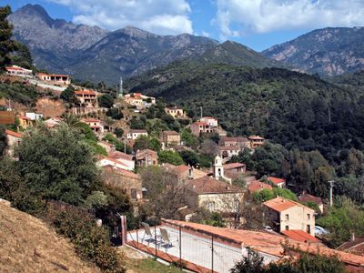
Serriera, commune in Corse-du-Sud, France
Location: canton of Deux-Sevi
Location: Corse-du-Sud
Location: arrondissement of Ajaccio
Elevation above the sea: 570 m
Shares border with: Manso, Partinello, Ota, Évisa
Phone: +33495261444
Email: mairiedeserriera@wanadoo.fr
GPS coordinates: 42.30139,8.70833
Latest update: May 26, 2025 21:44
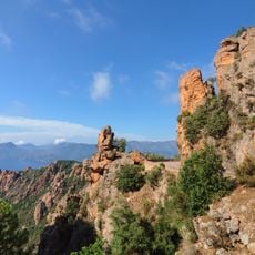
Calanques de Piana
7.1 km
Corsica Regional Natural Park
35.3 km
Capo Tafonato
13.8 km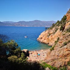
Ficaghjola Beach
8.7 kmGulf of Porto: Calanche of Piana, Gulf of Girolata, Scandola Reserve
7.1 km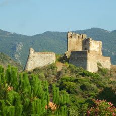
Torra di Girolata
9.4 km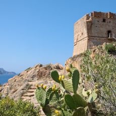
Torra di Portu
4 km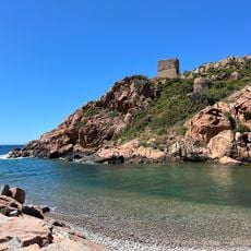
Plage de Porto
4.3 km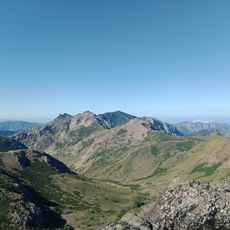
Pointe de Cricche
12.4 km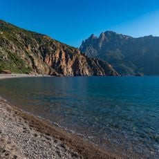
Plage Bussaglia
2.7 km
Capu à a Cùccula
11.7 km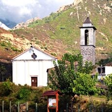
Église Saint-Pancrace de Manso
10.1 km
Église Saint-Jean-Baptiste de Ota
5.7 km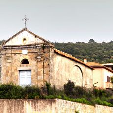
Église St-Pierre et Saint-Paul de Piana
9.2 km
Église Saint-François d'Osani
6.7 km
Église Saint-Jean-Baptiste de Curzo
3.9 km
Église Saint-Jacques de Marignana
10.7 km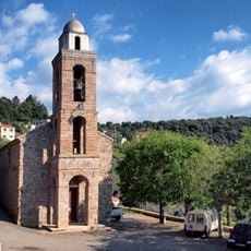
Église Sant-Antoine de Padoue de Partinello
2.4 km
Église de l'Assomption de Piana
9.2 km
Capo di Guagnerola
12.5 km
Église Saint-François-Xavier de Chidazzu
9.8 km
Église Sainte-Marie de Serriera
92 m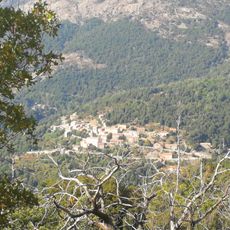
Cristinacce (munisipyo sa Pransiya)
12.9 km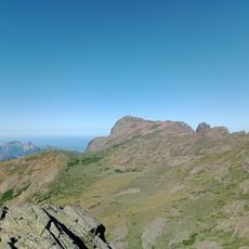
Capo alle Giargiole
12.5 km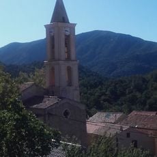
Église Saint-Martin d'Évisa
9.5 km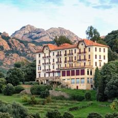
Hôtel Les Roches Rouges de Piana
8.8 km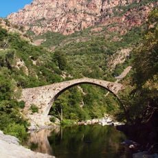
Pont génois de Pianella
6.6 km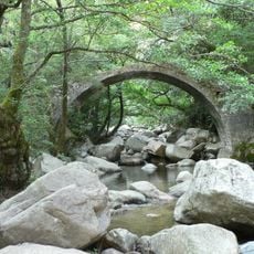
Pont de Zaglia
8 kmVisited this place? Tap the stars to rate it and share your experience / photos with the community! Try now! You can cancel it anytime.
Discover hidden gems everywhere you go!
From secret cafés to breathtaking viewpoints, skip the crowded tourist spots and find places that match your style. Our app makes it easy with voice search, smart filtering, route optimization, and insider tips from travelers worldwide. Download now for the complete mobile experience.

A unique approach to discovering new places❞
— Le Figaro
All the places worth exploring❞
— France Info
A tailor-made excursion in just a few clicks❞
— 20 Minutes