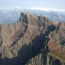
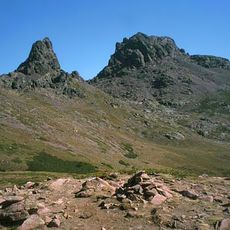
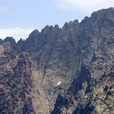
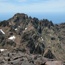
Capo di Guagnerola, Mountain summit in Albertacce and Évisa, France
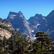
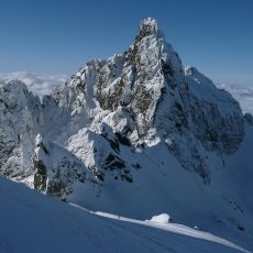
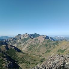
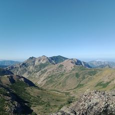
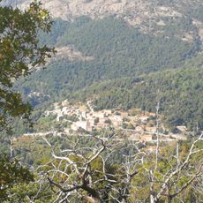
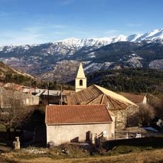
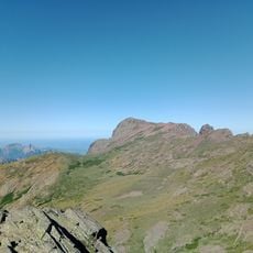
Capo di Guagnerola is a mountain summit on Corsica, on the border of Albertacce and Évisa, reaching 1,697 metres. It lies 1.0 km southwest of Le Forcelle, which rises to 1,988 metres. The surrounding terrain is wooded, with the nearest town, Vico, 16.9 km to the south-southwest.
Capo di Guagnerola is a 1,697-metre summit on the island of Corsica, in the commune of Albertacce near Évisa. The source records no historical events, buildings or settlements on the peak itself; the nearest named higher point is Le Forcelle at 1,988 metres, about one kilometre to the north-east. The surrounding slopes are wooded, and the small town of Vico lies roughly 17 km to the south-west.
The name Capo di Guagnerola is Corsican, from capo for a peak; the summit lies above the villages of Albertacce and Évisa, within the Parc naturel régional de Corse. The surrounding slopes are wooded with laricio pine, and the nearest larger settlement is Vico, about 17 km to the south-west.
Capo di Guagnerola lies on Corsica about 17 km north of Vico, with Le Forcelle (1,988 m) roughly 1 km to the northeast. The summit reaches 1,697 m, so expect cooler, changeable mountain weather; the surrounding slopes are wooded and the terrain is steep. Plan for a sustained climb and carry water and sturdy footwear.
Capo di Guagnerola rises to 1,697 m, not the 1,967 m sometimes given; the higher Le Forcelle, at 1,988 m, stands just 1 km to the northeast. The nearest town is Vico, about 17 km to the southwest, and the slopes below the summit are wooded.
The community of curious travelers
AroundUs brings together thousands of curated places, local tips, and hidden gems, enriched daily by 92,946 contributors worldwide.