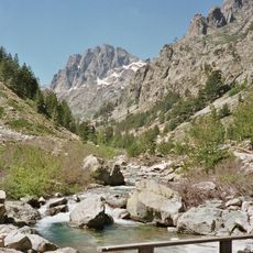
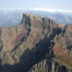
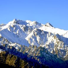
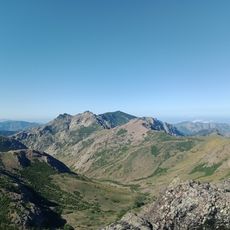
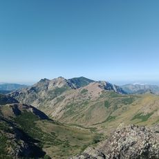
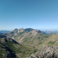
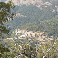
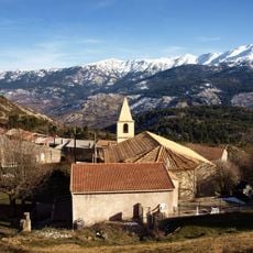
Punta Artica, Granite mountain summit in Haute-Corse, France.
Punta Artica is a granite peak reaching 2,327 metres in the Monte Rotondo massif of Haute-Corse, the highest point of the ridge that closes the Niolo basin to the south. Its northern slopes fall into the Valdu Niellu forest of beech and laricio pine, while the bare southern slopes above the Tavignano are overlooked by the peak. The summit straddles the communes of Albertacce and Casamaccioli.
English painter Edward Lear documented the surrounding Niolo basin in 1870, bringing international attention to this mountain landscape. The peak has since remained a testament to the enduring appeal of this highland terrain.
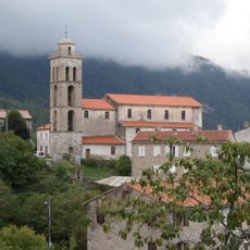
The peak serves as a key landmark that shapes the local geography and identity of the Niolo region for surrounding communities. Historic pathways crisscross the slopes, connecting villages and reflecting how people have moved through this terrain for centuries.
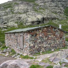
The GR20 north section passes below the summit between Ciottulu di i Mori and Manganu, via Lake Nino and along the Tavignano; the peak itself is reached by paths from the Casamaccioli and Corte sides. Several sheepfolds above 1,500 m, including Arenucciu, Palicchiosa and Capanelle, serve as landmarks. The southern slopes are bare and the eastern side faces the Campotile forest.
Punta Artica is the highest point of the ridge that closes the Niolo basin to the south, and its clean prominence of 759 metres makes it a landmark visible from the villages of Albertacce, Calacuccia, Lozzi and Corscia on the far side of the Golo valley. Its isolation is 8.02 kilometres from A Maniccia, the nearest higher summit to the southeast.
The community of curious travelers
AroundUs brings together thousands of curated places, local tips, and hidden gems, enriched daily by 92,883 contributors worldwide.