Rostrenen, Commune in the arrondissement of Guingamp, Côtes-d'Armor, France
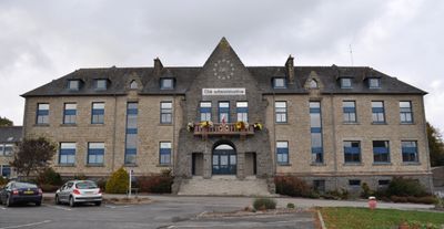
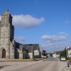
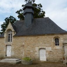
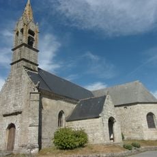
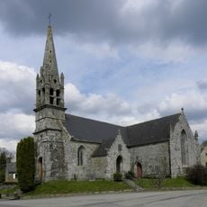
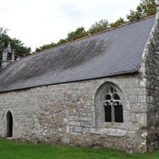
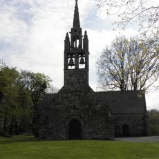
Rostrenen is a small town in the Côtes-d'Armor department of Brittany, located in the arrondissement of Guingamp, in the historical area of Cornouaille. The town center is compact, with narrow streets lined by stone buildings with dark roofs and a main square where local life plays out.
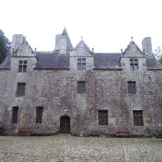
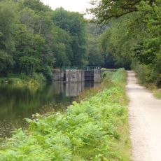
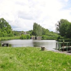
The town has been known since the 11th century, when a wooden castle stood on a hill above the Blavet river before being rebuilt in stone. In 1592, the castle was taken and burned by the Duke of Mercœur during a period of conflict, and a new castle was later built in the 18th century.
Rostrenen is known for its annual celebration of Notre-Dame de Rostrenen, held on July 2nd each year, which brings the community together around a long-standing local tradition. Every Tuesday, a market fills the town square with local farmers and artisans selling fresh produce, homemade goods, and flowers.
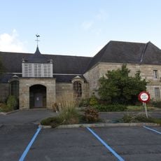
The local visitor office on Rue Abbé Gibert provides maps and guidance for the surrounding area, making it a good first stop. Bus services on the BreizhGo network connect the town with Guingamp and Loudéac, which makes it reachable without a car.
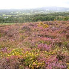
The town's name comes from the Breton words for hill and blackthorn, pointing directly to the shape of the land and the plants that grow on it. During the Second World War, two young resistance fighters were captured and hanged by German forces in July 1943, and their memory is kept alive in the town today.
The community of curious travelers
AroundUs brings together thousands of curated places, local tips, and hidden gems, enriched daily by 60,000 contributors worldwide.