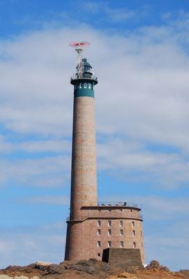
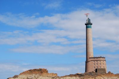
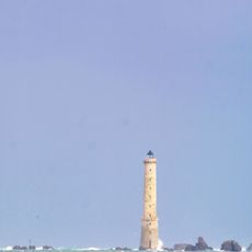
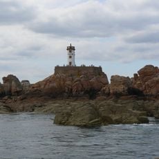
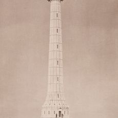
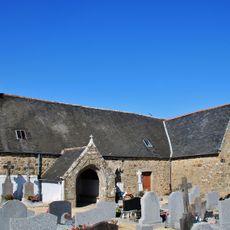
Roches-Douvres Light, Lighthouse in Côtes-d'Armor, France.
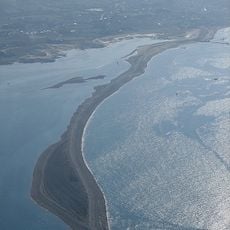
Roches-Douvres Light is a cylindrical stone tower standing about 64 meters above sea level with a green lantern at its top. It sits on a rocky reef between the French coast and the British island of Guernsey, serving as a key navigation marker for ships passing through the English Channel.
The original cast iron tower was built in 1868 using components that had been displayed at the 1867 Paris Exposition. German forces destroyed it during World War II, after which a new stone structure was erected in its place.
The French Service des phares et balises maintains this maritime navigation structure, which received historical monument status in 2017.
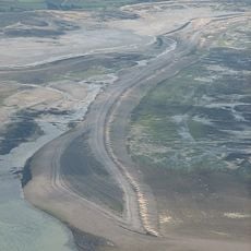
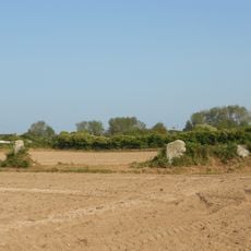
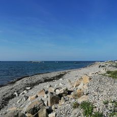
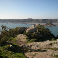
The structure sits roughly 30 kilometers offshore from the French coast and operates fully automatically with no public access allowed. Visitors can only view it from the water, making a boat trip from nearby Île-de-Bréhat the best way to see it.
The post-war reconstruction used approximately 11,000 tons of materials including numbered pink and gray granite blocks assembled with precision at this isolated offshore location. This numbered assembly process was a remarkable feat of engineering for rebuilding on the open sea.
Location: Île-de-Bréhat
Inception: 1954
Architects: Joël Hardion, Henry Auffret
Elevation above the sea: 69.4 m
Height: 213 m
Made from material: stone
GPS coordinates: 49.10508,-2.81412
Latest update: December 8, 2025 19:47
Sillon de Talbert
31.8 km
Héaux de Bréhat lighthouse
29.6 km
Paon lighthouse
29.5 km
Birlot tide mill
32.1 km
La Croix Lighthouse
34.6 km
Rosedo Lighthouse
30.9 km
Pors Rand
34.2 km
Chapelle de Perros-Hamon
36.9 km
Allée couverte de Mélus
37.4 km
Église Notre-Dame de Bonne-Nouvelle
32.2 km
Allée couverte de l'île Coalen
34.7 km
Calvaire de la chapelle de Lancerf
36.6 km
Croix des Veuves
36.5 km
Alignement de menhirs de Poul-ar-Varquez
35.2 km
Kermagen Plage
36.6 km
Promontoire préhistorique barré de Roch'an Evned
37 km
Roches-Douvres Light
19 m
Église Saint-Maudez de Lanmodez
36.3 km
Plage de Launay
36.1 km
Église Notre-Dame de l’Armor
34.5 km
Réserve naturelle régionale du Sillon de Talbert
31.8 km
Fondation Haraucourt
29.9 km
Chapelle de la Sainte-Trinité de Porz-Even
36.3 km
Chapelle Notre-Dame de Keranroux
30.9 km
Croix de Crec'h-Gwen
31.9 km
Chapelle Notre-Dame-de-Bonne-Nouvelle de Lanmodez
34.7 km
Chapelle Saint-Michel de Bréhat
31.9 km
Croix Saint-Michel
31.7 kmVisited this place? Tap the stars to rate it and share your experience / photos with the community! Try now! You can cancel it anytime.
Discover hidden gems everywhere you go!
From secret cafés to breathtaking viewpoints, skip the crowded tourist spots and find places that match your style. Our app makes it easy with voice search, smart filtering, route optimization, and insider tips from travelers worldwide. Download now for the complete mobile experience.
A unique approach to discovering new places❞
— Le Figaro
All the places worth exploring❞
— France Info
A tailor-made excursion in just a few clicks❞
— 20 Minutes