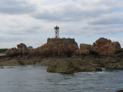
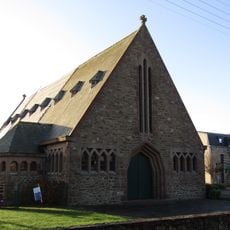
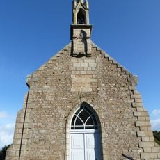
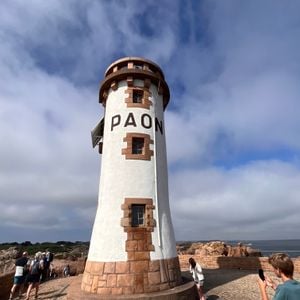
Paon lighthouse, Maritime navigation lighthouse on Île de Bréhat, Côtes-d'Armor, France
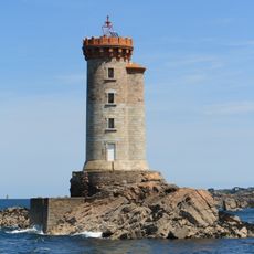
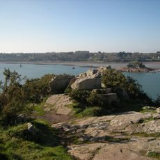
Paon lighthouse is a stone structure located on Île de Bréhat in Brittany, standing about 13 meters tall. The building offers views across the coastline and waters surrounding the island.
The original lighthouse was built in 1860 and was damaged during World War II. The structure was rebuilt in 1947 to restore the navigation aid to the region.
The lighthouse reflects the maritime identity of this island community and shows how navigation signals shaped life along this coast. Today it stands as a marker of the seafaring traditions that remain central to the region's character.
The lighthouse is not regularly open to the public and can only be visited through organized guided tours. Check ahead for available visiting opportunities to plan your trip appropriately.
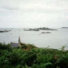
The lighthouse guides vessels through particularly rocky waters surrounding the island, where navigation aids are especially important. This challenging location made it a vital point for shipping safety in the area.
The community of curious travelers
AroundUs brings together thousands of curated places, local tips, and hidden gems, enriched daily by 60,000 contributors worldwide.