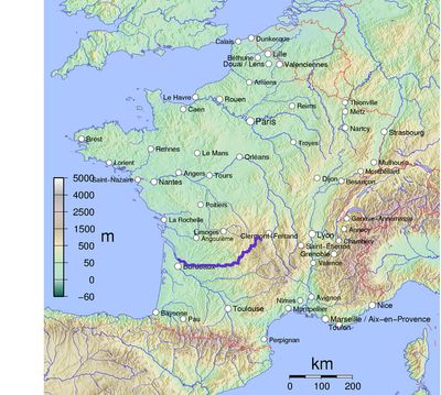
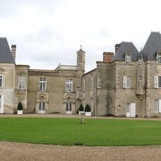
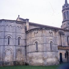
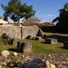
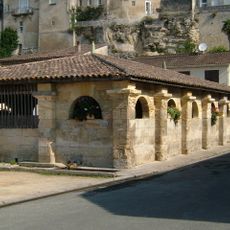
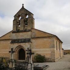
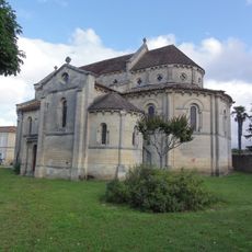
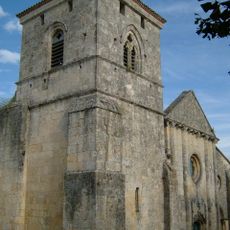
Dordogne, River in southwestern France
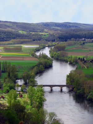
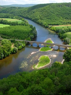
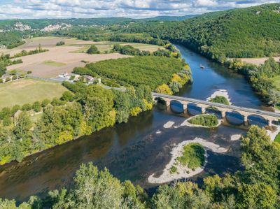
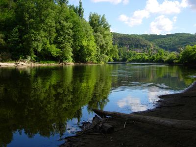
The Dordogne is a river in southwestern France that rises in the Massif Central and flows through the Puy-de-Dôme, Corrèze, Cantal, Lot, and Gironde departments before meeting the Garonne. The waterway winds through forested hills and open valleys, where sandbars and pebble beaches appear in wider sections.
The waterway served as a main transport route between Argentat and Bordeaux from the 18th through the 19th century, carrying timber, slate, salt, and wine downstream. Flat-bottomed boats were steered down and then dismantled, as the current made upstream return impossible.
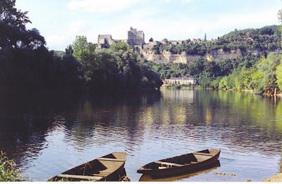
Locals refer to different sections by nearby villages rather than using a single name for the entire waterway. Families gather along pebble beaches during warm months for swimming and afternoon picnics, while anglers cast lines at calm bends where the current slows.
Sections between larger towns are good for paddling, especially from April through October when water levels are more stable. Some stretches offer calm water for beginners, while others with faster current and gravel appeal to more experienced paddlers.
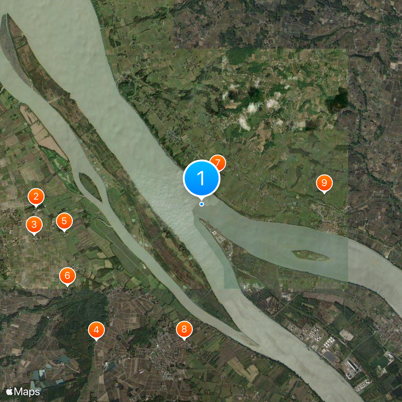
At certain tides, seawater from the estuary pushes upstream and creates a visible wave that runs against the normal flow. The phenomenon occurs only during specific moon phases and can be observed at a few spots further inland.
The community of curious travelers
AroundUs brings together thousands of curated places, local tips, and hidden gems, enriched daily by 60,000 contributors worldwide.