·

Enable Location

We need your location to show you interesting places around you

Discover nearby places

Find interesting locations and hidden gems around you

Precise directions

Get accurate directions and distances to places

Your location is never shared with other users. It's only used when you tap the location button.

Oloron-Sainte-Marie

Log in to your account

Start exploring — it's free

Trusted by 62,635 travelers worldwide

Continue with Google
Continue with Apple
or

We will send you a code to connect

By continuing, you accept our Terms and Conditions and our Privacy Policy

Check your inbox

We've sent a pincode in your inbox. Please enter the code below.

Oloron-Sainte-Marie

Oloron-Sainte-Marie, Administrative district in Pyrénées-Atlantiques, France

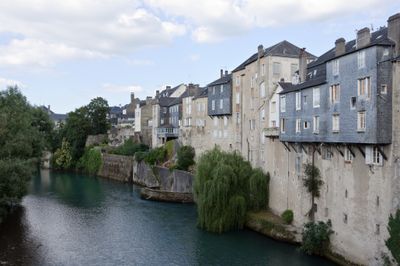
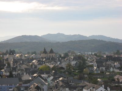
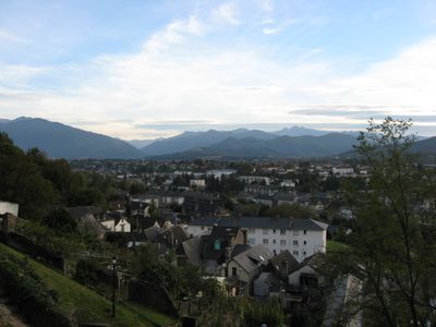
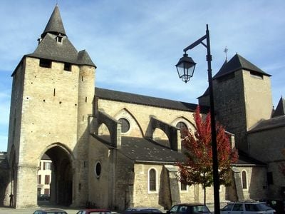
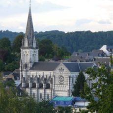
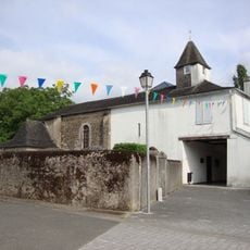
Oloron-Sainte-Marie is a town in the Pyrénées-Atlantiques department of southwestern France, where two mountain rivers meet in a valley. The town spreads across both banks, with neighborhoods rising from the waterfront into the surrounding hills.

The settlement began in Roman times at the meeting point of two river valleys and later grew around medieval trade routes toward Spain. By the 19th century, the town became a center for textile manufacturing and beret production.

The administrative area maintains records of local traditions, including the production of Ossau-Iraty cheese and the manufacturing heritage of berets.

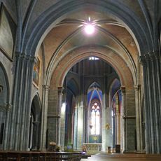
The town center can be explored on foot, with paths crossing bridges and following the riverbanks. Visitors can cover the old quarters and market square comfortably in half a day.

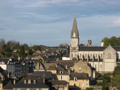
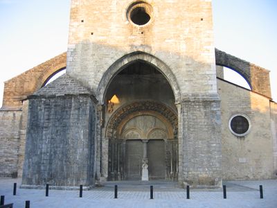
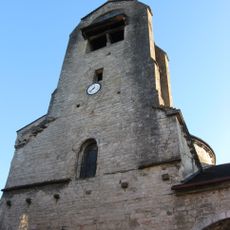
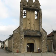
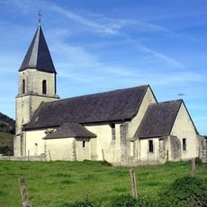
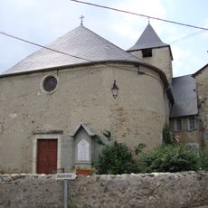
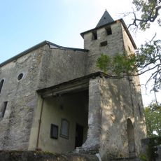
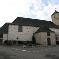
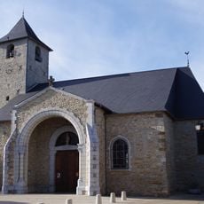
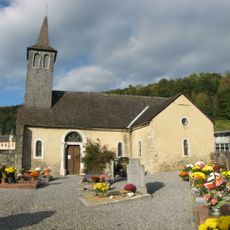
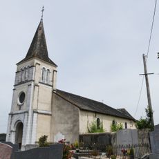
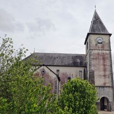
A local church tower holds a 12th-century carved portal showing scenes from medieval life. The carvings are often overlooked, though they rank among the oldest stonework in the region.

The community of curious travelers

AroundUs brings together thousands of curated places, local tips, and hidden gems, enriched daily by 60,000 contributors worldwide.

Start exploring
Inception
May 18, 1858
Elevation above the sea
389 m
Shares border with
Agnos, Ance Féas, Arudy, Bidos, Buziet, Cardesse, Escot, Escout, Esquiule, Estos, Eysus, Goès, Gurmençon, Herrère, Ledeuix, Lurbe-Saint-Christau, Monein, Moumour, Ogeu-les-Bains, Précilhon, Bilhères, Ance, Féas
Address
64400 Oloron-Sainte-Marie, France
Phone
GPS coordinates
43.19417,-0.60667
Latest update
December 13, 2025 19:27
« Oloron-Sainte-Marie - Administrative district in Pyrénées-Atlantiques, France » is provided by Around Us (aroundus.com). Images and texts are derived from Wikimedia project under a Creative Commons license. You are allowed to copy, distribute, and modify copies of this page, under the conditions set by the license, as long as this note is clearly visible.

Discover hidden gems everywhere you go!

From secret cafés to breathtaking viewpoints, skip the crowded tourist spots and find places that match your style. Our app makes it easy with voice search, smart filtering, route optimization, and insider tips from travelers worldwide. Download now for the complete mobile experience.

Around Us App Screenshot

A unique approach to discovering new places

Le Figaro

All the places worth exploring

France Info

A tailor-made excursion in just a few clicks

20 Minutes

Around Us
Travel Guide & Maps
Download

Send to your phone

QR Code
1

Open the camera app on your mobile.

2

Point at the QR code with your camera. A notification will appear.

3

Tap the notification to open the link.