Le Raincy

Log in to your account

AroundUs is a community-driven map of interesting places, built by curious explorers like you. It grows with every review, story, and photo you share.
Connect to save your favorite spots, contribute locations, and create personalized routes.
Continue with Google
Continue with Apple
Continue with X
Continue with Facebook
Continue with email
By continuing, you accept our Terms and Conditions and our Privacy Policy
Create an account
Add to collection
Map
Suggest a change
Share

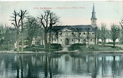
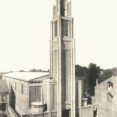
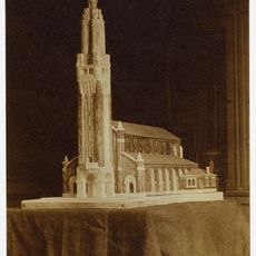
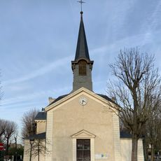
Le Raincy, Administrative commune in Seine-Saint-Denis, France

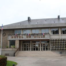
Le Raincy is a commune in Seine-Saint-Denis, located about 15 kilometers northeast of Paris, functioning as a sub-prefecture of the Île-de-France region. The administrative center is concentrated in several public buildings that shape the town's appearance and serve as a focal point for official matters.

The commune was established as an independent administrative unit in 1869 and transferred from neighboring Seine-et-Oise to the newly formed Seine-Saint-Denis in 1968. This administrative reorganization marked its integration into the region's modern metropolitan structure.

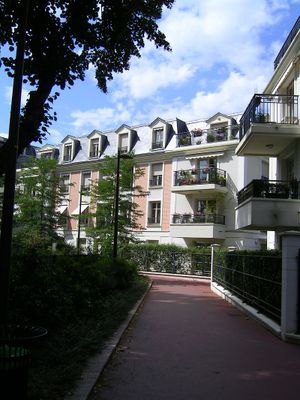
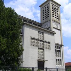
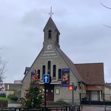
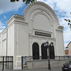
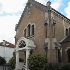
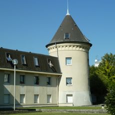
The town evolved over decades into an important administrative hub for the region, which is reflected in its public buildings and urban layout. Local residents regularly use the town hall and surrounding areas for daily tasks and community interactions.

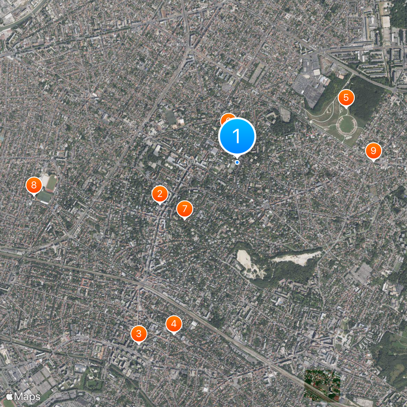
Visitors will find the main administrative offices in the center of the commune, where regularly open offices provide information and services. It is recommended to visit during regular business hours on weekdays when all services are readily available.

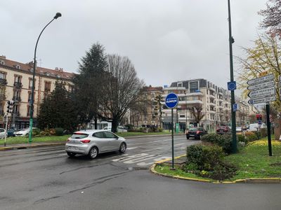
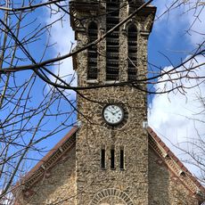
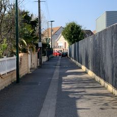
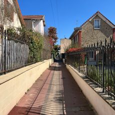
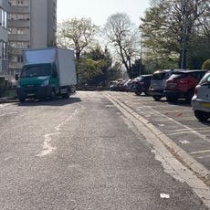
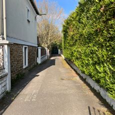
The commune sits on terrain with gentle elevation changes, giving the area a rolling character that stands apart from flat Paris. This geographic feature shapes the settlement's appearance and offers varying perspectives when walking through its streets and neighborhoods.

Location: Seine-Saint-Denis

Location: arrondissement of Le Raincy

Location: Grand Paris

Inception: May 20, 1869

Elevation above the sea: 87 m

Shares border with: Livry-Gargan, Clichy-sous-Bois, Gagny, Les Pavillons-sous-Bois, Villemomble

Phone: +33143024200

Email: leraincy@leraincy.fr

Website: http://leraincy.fr

GPS coordinates: 48.89917,2.52306

Latest update: December 17, 2025 09:02

Photos
Reviews

Visited this place? Tap the stars to rate it and share your experience / photos with the community! Try now! You can cancel it anytime.

« Le Raincy - Administrative commune in Seine-Saint-Denis, France » is provided by Around Us (aroundus.com). Images and texts are derived from Wikimedia project under a Creative Commons license. You are allowed to copy, distribute, and modify copies of this page, under the conditions set by the license, as long as this note is clearly visible.

Discover hidden gems everywhere you go!

From secret cafés to breathtaking viewpoints, skip the crowded tourist spots and find places that match your style. Our app makes it easy with voice search, smart filtering, route optimization, and insider tips from travelers worldwide. Download now for the complete mobile experience.

Around Us App Screenshot

A unique approach to discovering new places

Le Figaro

All the places worth exploring

France Info

A tailor-made excursion in just a few clicks

20 Minutes