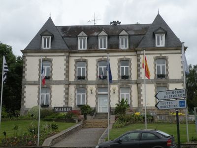
Mûr-de-Bretagne, former commune in Côtes-d'Armor, France
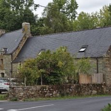
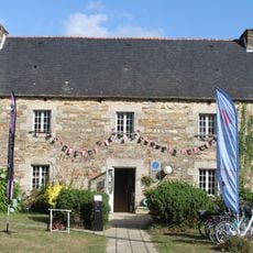
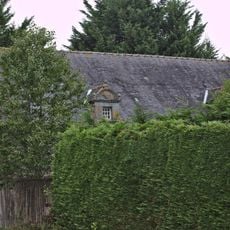
Mûr-de-Bretagne is a small town situated near Lake Guerlédan in Côtes-d'Armor, characterized by old stone houses and quiet streets. The settlement centers on traditional architecture while the lake and nearby Quénécan Forest define its surrounding landscape.
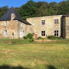
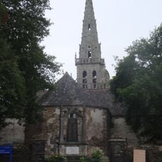
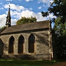
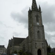
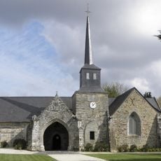
The town developed from a medieval fortification, a heritage reflected in its name. Nearby stands the Chapel of Sainte-Suzanne, constructed in the 15th century and expanded with a tower during the 18th century.
The town's name comes from its medieval fortified settlement and reflects the Breton heritage of the region. Locals maintain traditional ways of life connected to the seasons and the land, which you can observe in small shops and cafes where people gather regularly.
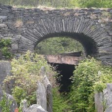
The town is accessed from the north via the D 63 road, which passes through the scenic Poulancre Gorges with their narrow valley passages. The village and surrounding area are easy to explore on foot or by car using the many country roads.
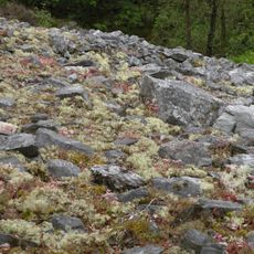
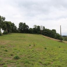
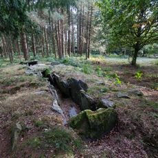
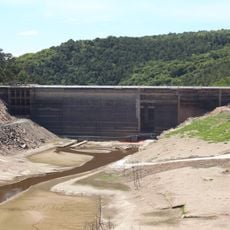
The town occupies a special location between two natural zones: Lake Guerlédan is one of Brittany's largest inland waters offering water activities and lakeside picnic spots. The Quénécan Forest features centuries-old trees and walking trails where visitors can spot birds and small woodland animals.
The community of curious travelers
AroundUs brings together thousands of curated places, local tips, and hidden gems, enriched daily by 60,000 contributors worldwide.