Le Conquet, commune in Finistère, France
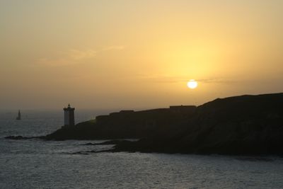
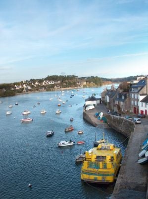
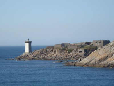
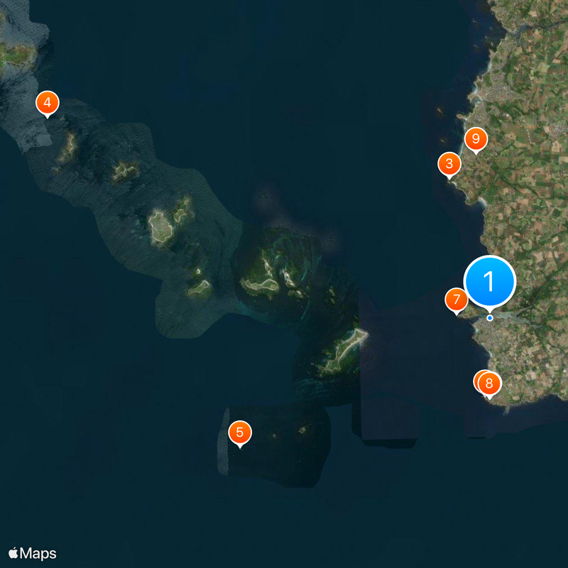
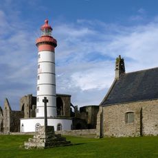
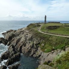
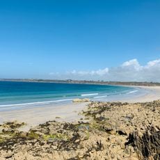
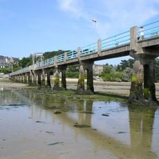
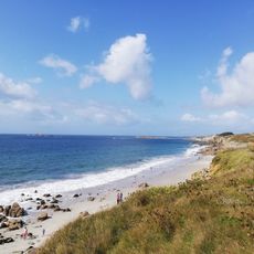
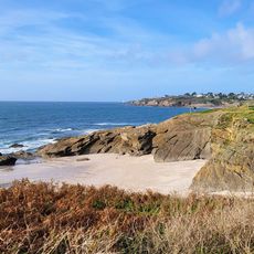
Le Conquet is a harbor town in Brittany located on the coast of the Iroise Sea with views toward nearby islands. The settlement flows from the working harbor upward into residential quarters, with the waterfront and fishing infrastructure forming its heart.
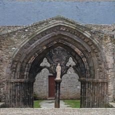
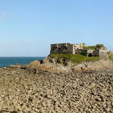
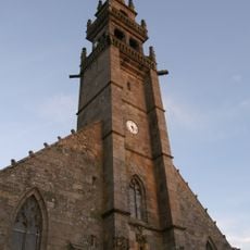
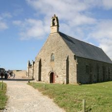
This settlement emerged in the Middle Ages as a vital port for trade and fishing along the Breton coast. Its role as a seafaring hub shaped its character through the centuries.
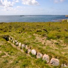
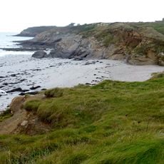
The name of this seaside town comes from a Breton word referring to conflict, reflecting its stormy past. Today it remains shaped by fishing and sailing, with boats and maritime traditions still defining daily life.
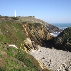
The town is accessible by road from inland areas with parking available near the harbor. Visitors should prepare for coastal weather conditions, which can be windy and damp, especially during rough sea seasons.
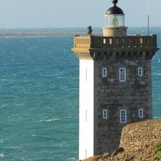
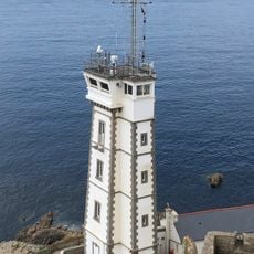
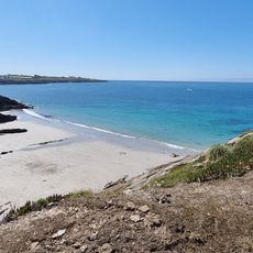
This is one of the few remaining active fishing harbors in the region where you can watch fishermen at work daily. Visitors can witness real working practices that have shaped the community for generations.
The community of curious travelers
AroundUs brings together thousands of curated places, local tips, and hidden gems, enriched daily by 60,000 contributors worldwide.