Maureilhan, commune in Hérault, France
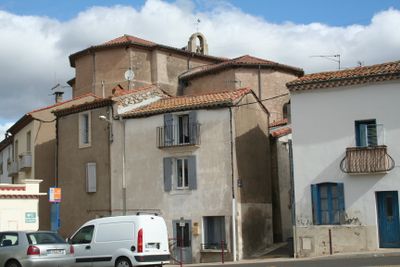
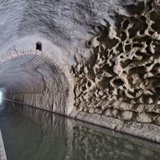
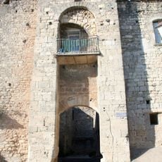
Maureilhan is a small village in southern France near Béziers, situated about 8 kilometers away and surrounded by farmland and vineyards. It has narrow streets lined with traditional houses featuring shutters and tiled roofs in the Languedoc style, with quiet paths that invite leisurely walking.
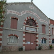
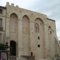
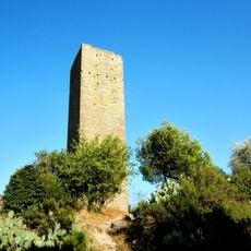
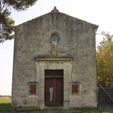
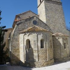
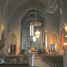
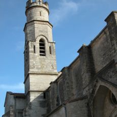
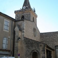
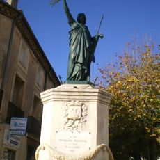
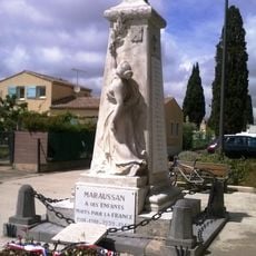
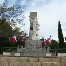
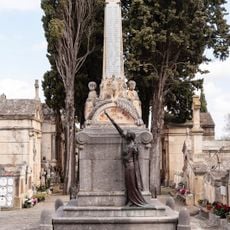
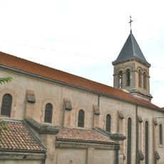
Maureilhan developed over many centuries as a farming and church community in the Languedoc region. The village grew slowly through generations of families establishing roots here, with old buildings still standing today that testify to this long past.
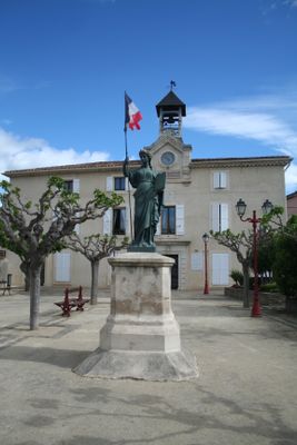
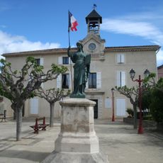
Maureilhan reflects the traditional way of life common to the Languedoc region, with its name rooted in local history. Residents use the village streets and small shops as gathering places, where regular community events and shared meals keep local customs alive and strengthen social bonds.
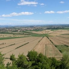
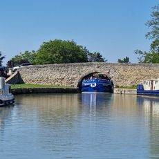
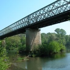
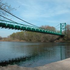
The village is easy to explore on foot, with shaded streets that provide relief on warm days and give a pleasant walking experience. Small shops and cafes are located within the village, while the nearby countryside invites walking and cycling throughout the surrounding area.
The village actively pursues energy efficiency, installing solar panels on roofs and reducing light pollution by turning off streetlights at night. These environmental initiatives show how a small community can blend modern practices with its commitment to sustainability.
The community of curious travelers
AroundUs brings together thousands of curated places, local tips, and hidden gems, enriched daily by 60,000 contributors worldwide.