La Bâtie-des-Fonds, commune in Drôme, France
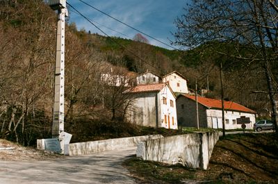
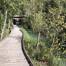
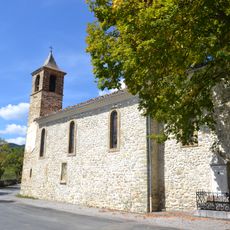
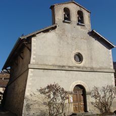
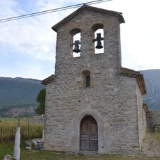
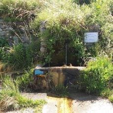
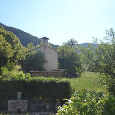
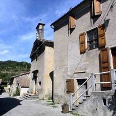
La Bâtie-des-Fonds is a small commune in the Drôme region of southeastern France, located above 3000 feet (1000 m) altitude and surrounded by dense forests and rolling hills. The village consists of a few scattered houses and old farm buildings connected by narrow paths, with the young sources of the Drôme river flowing through the green landscape.
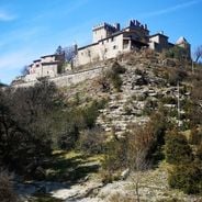
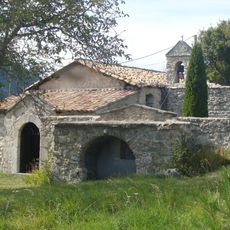
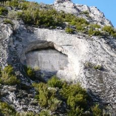
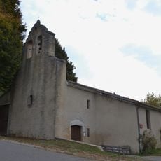
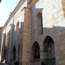
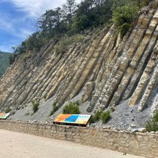
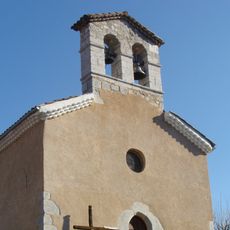
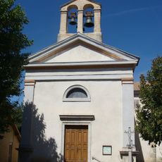
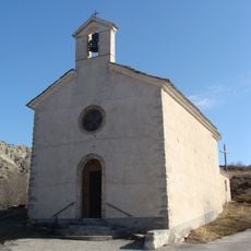
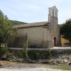
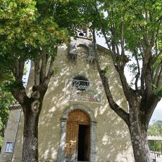
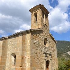
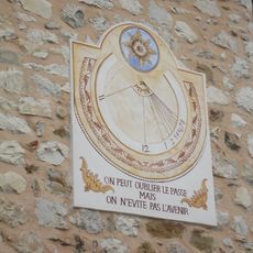
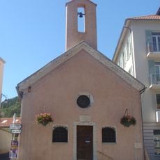
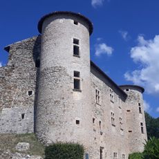
The village has a long rural history marked by farming communities, with a 19th-century sundial and remnants of a 17th-century castle still visible today. In 1936, a landslide altered part of the landscape permanently, leaving traces that remain visible and serving as a reminder of nature's power in this mountainous area.
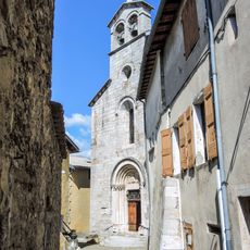
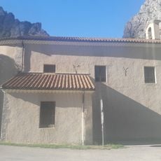
The village maintains local traditions through small gatherings and markets where residents share regional foods and products. The old stone houses and unhurried rhythm reflect a rural way of life that visitors can experience directly when walking through the area.
The village is reached by small winding roads through the hills, and features a wooden boardwalk trail along the Drôme sources with informational panels for visitors. Accommodation and supplies should be sought in nearby villages, as the commune itself has few amenities and minimal services.
The village is one of France's smallest communes with only about four residents and a single mayor, making it a remarkable example of how administration works in the tiniest communities. This exceptionally small population maintains a way of life that is rare to find elsewhere in modern Europe.
Location: canton of Luc-en-Diois
Location: Drôme
Location: arrondissement of Die
Elevation above the sea: 1,175 m
Shares border with: La Beaume, La Piarre, Saint-Pierre-d'Argençon, Les Prés, Valdrôme
Phone: +33475218479
Email: mairie.lbdf@orange.fr
GPS coordinates: 44.51444,5.63861
Latest update: December 7, 2025 15:17
France has some municipalities with extremely low populations, not exceeding 12 residents. These villages reflect the demographic shifts in rural France and provide insight into a lifestyle that has become rare. Rochefourchat in Drôme holds the record with just one inhabitant, while Aingoulaincourt...
Monastère de la Dormition-de-la-Mère-de-Dieu à La Faurie
10.6 km
Provencal Baronnies Observatory
15.4 km
Écomusée du cheminot Veynois
14.8 km
Cadran solaire du col de Cabre
4.7 km
Église de l'Assomption de La Bâtie-Montsaléon
11.1 km
Le Marais des Bouligons
11.4 km
Église Saint-Arey de Serres
11.3 km
Geological site of la Charce: Serre de l'Âne
16.2 km
Église Saint-Barthélemy de Chabestan
12.2 km
Église Saints-Pierre-et-Paul de Saint-Pierre-d'Argençon
4.8 km
Église d'Oze
13.3 km
Église Saint-Pierre-aux-Liens-et-Notre-Dame d'Aspremont
7.6 km
Église Saint-Géraud d'Aspres-sur-Buëch
8.9 km
Église Saint-Pierre-aux-Clefs de Ribeyret
13 km
Église Saint-Blaise de Saint-Julien-en-Beauchêne
12.7 km
Église Saint-Laurent de Miscon
15.6 km
Église Saint-Vincent du Saix
15.3 km
Église du Plan du Bourg Villelongue
15 km
Église Saint-Laurent de Sigottier
8 km
Église de Montmorin
10.3 km
Zonnewijzer
10.5 km
Sources de la Drôme
101 m
Temple d'Establet
16 km
Chapelle Notre-Dame-de-Pitié-et-Saint-André de Veynes
14.2 km
Maison de Lesdiguières
11.3 km
Town hall of Serres
11.3 km
Temple de Beaurières
8.9 km
Château de la Charce
15.6 kmVisited this place? Tap the stars to rate it and share your experience / photos with the community! Try now! You can cancel it anytime.
Discover hidden gems everywhere you go!
From secret cafés to breathtaking viewpoints, skip the crowded tourist spots and find places that match your style. Our app makes it easy with voice search, smart filtering, route optimization, and insider tips from travelers worldwide. Download now for the complete mobile experience.
A unique approach to discovering new places❞
— Le Figaro
All the places worth exploring❞
— France Info
A tailor-made excursion in just a few clicks❞
— 20 Minutes